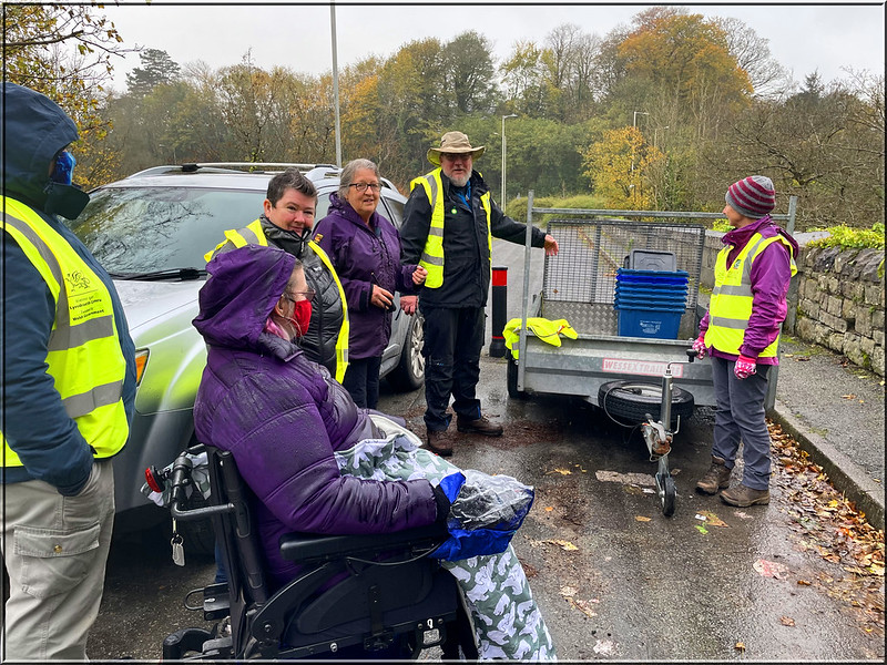
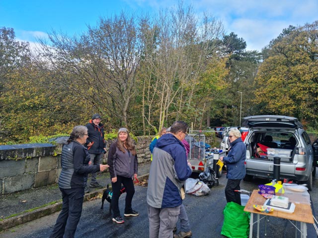
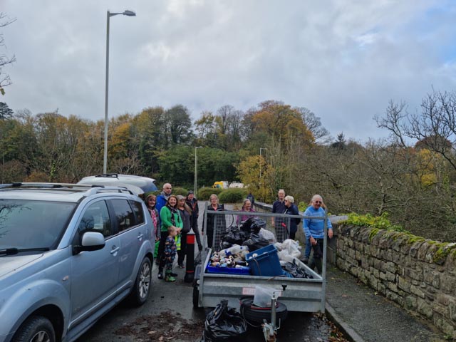
19 geocachers gathered for Cache in Trash Out (CITO) season 2 at Morfa Common Park / Parc Y Dre on the banks of Arfon Seiont, returning for the 5th time since 2018. As we stood in the drizzle for the safety briefing it was an unpromising damp start, both in the weather and the amount of litter that had accumulated since our last pick at this location. We split up into groups and got on with the task in hand keeping a steady flow of bags back to the collection point, for kerbside sorting of the recyclables into their respective categories. As the litter pick progressed, the weather improved with some autumnal blue sky putting in an appearance and Morfa Common Park looking much tidier than when we had started. We would like to say a very big thank you to everyone for all your hard work.
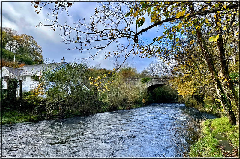
Arfon Seiont
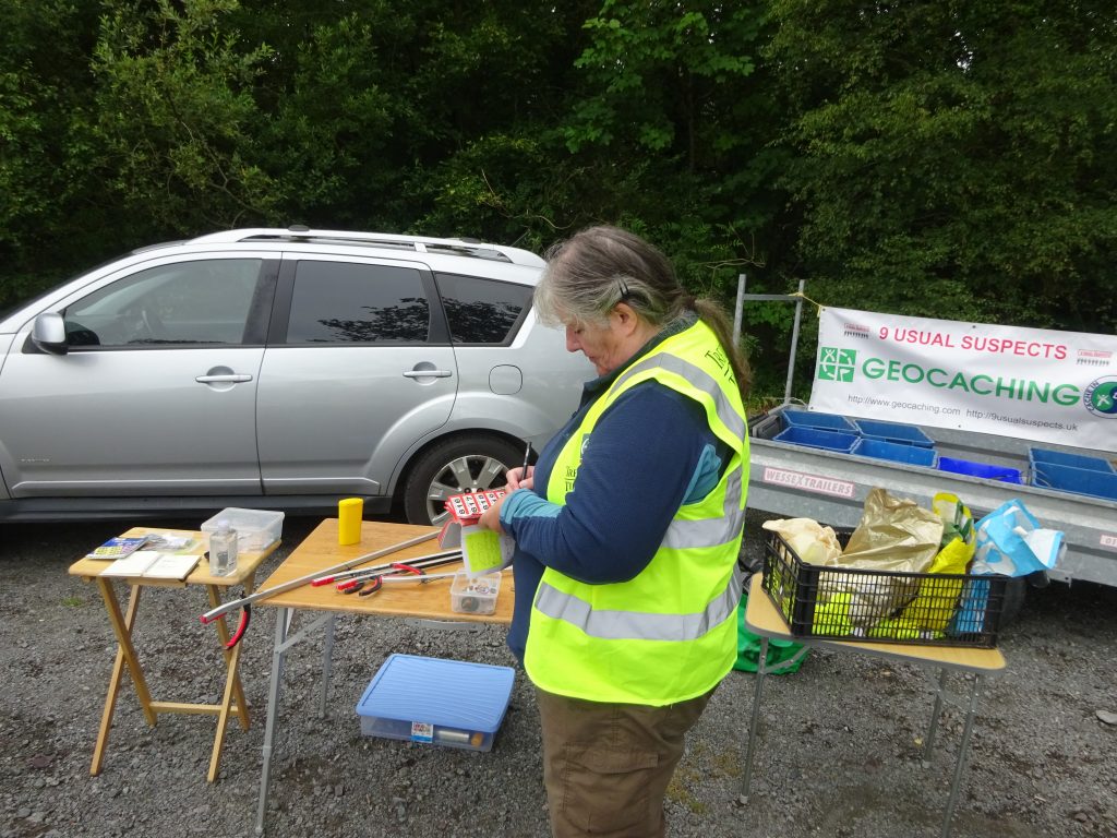
Base camp
Safety Briefing
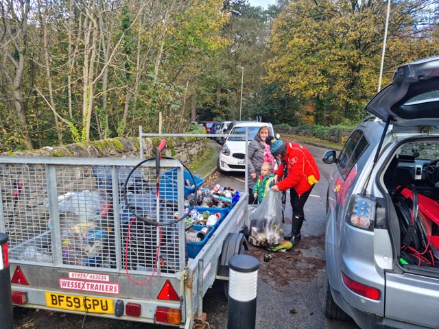
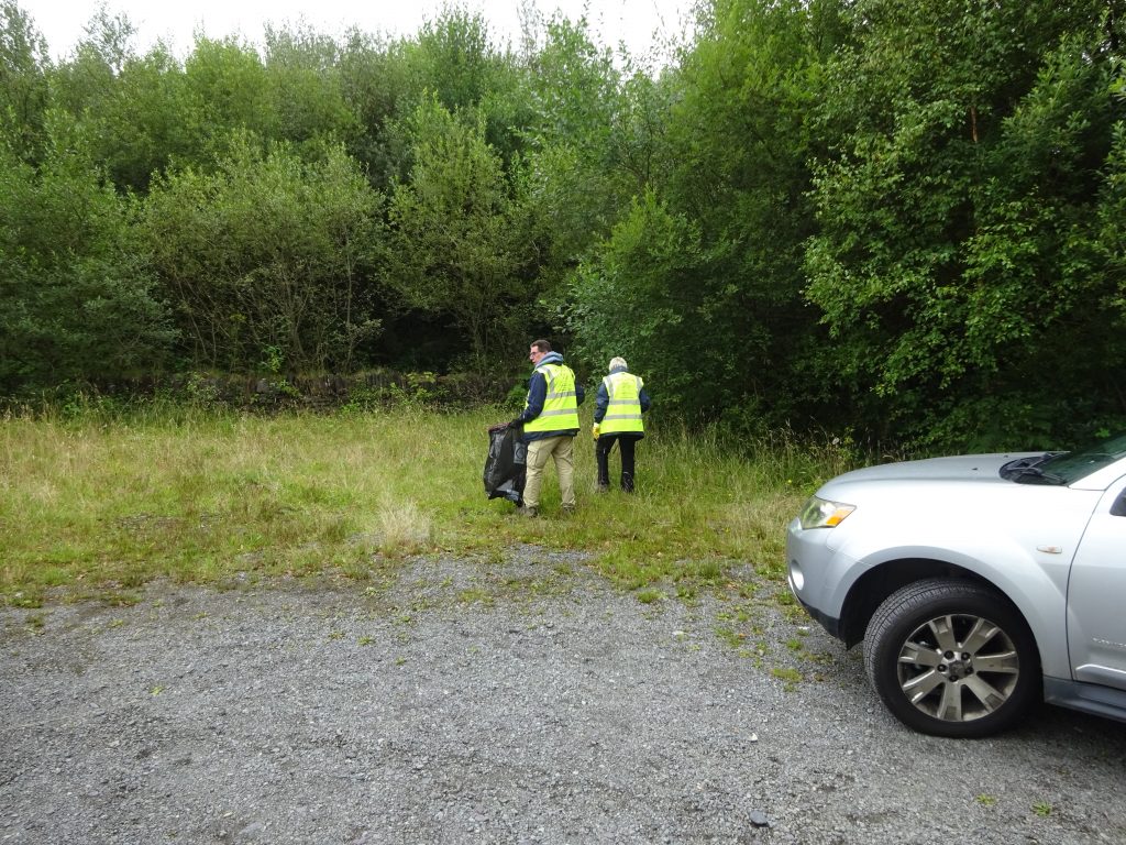
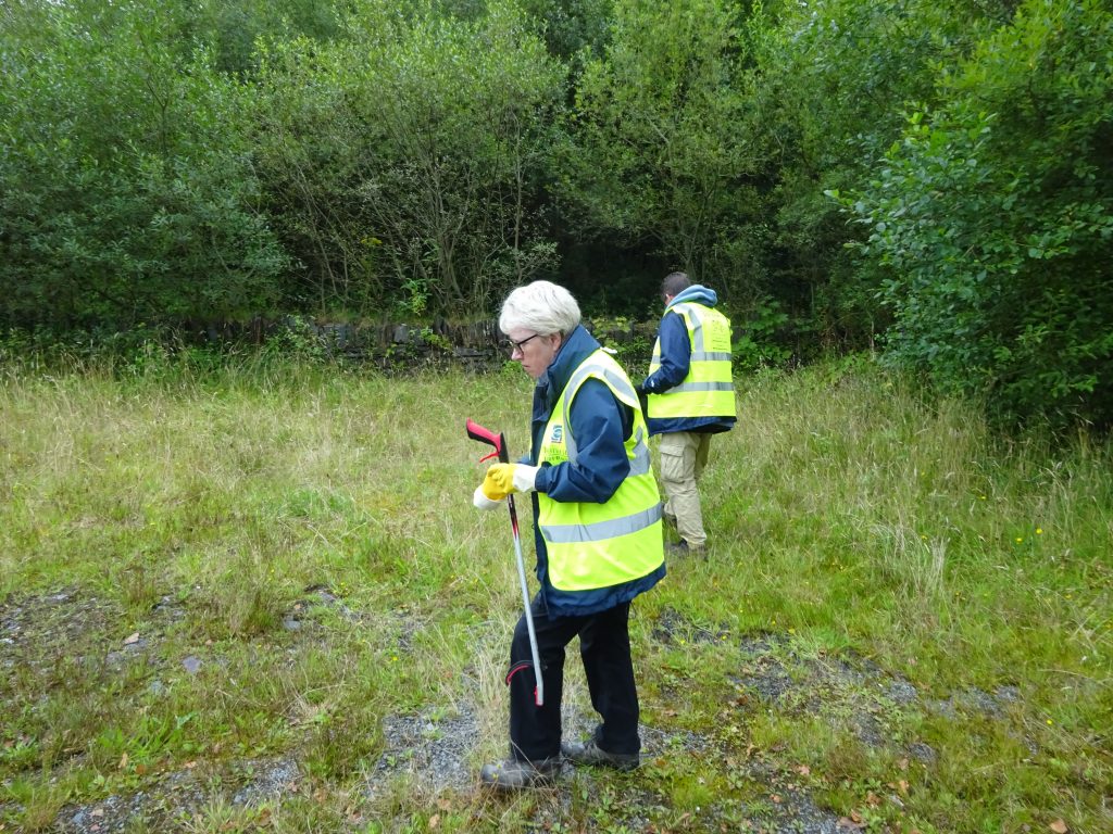
Trash starts coming in
Much tider now
No cans or bottles anymore!
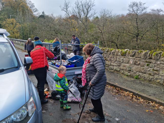
More trash for sorting
Sorting the rubbish for recycling
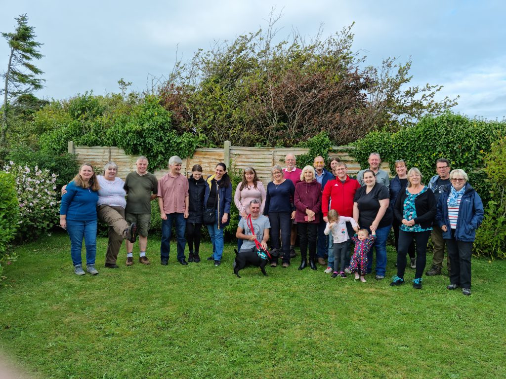
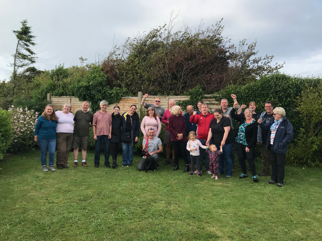
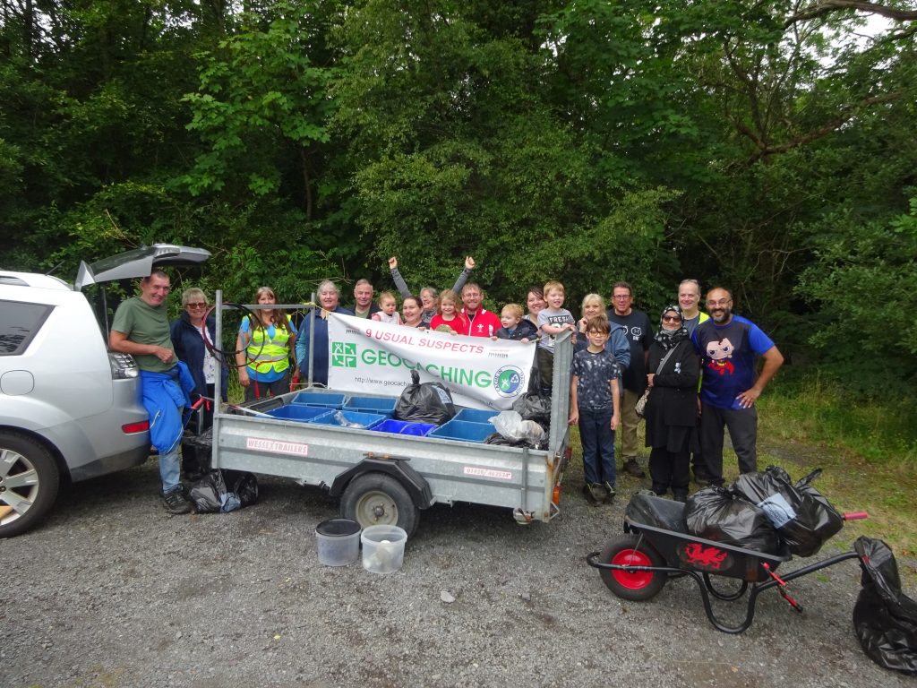
Group photo
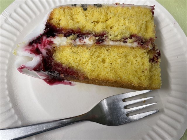
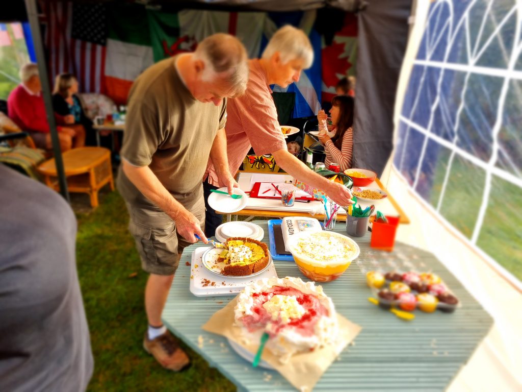
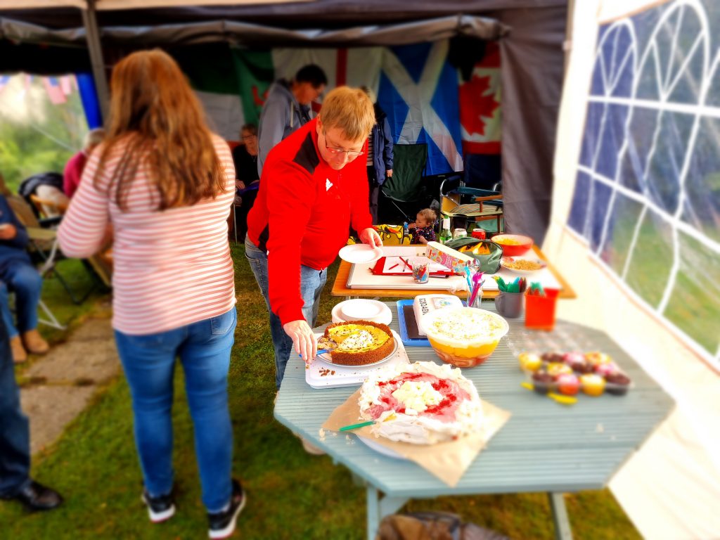
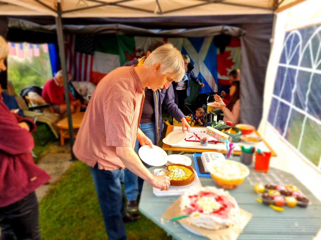
There was cake of course
mmm cake
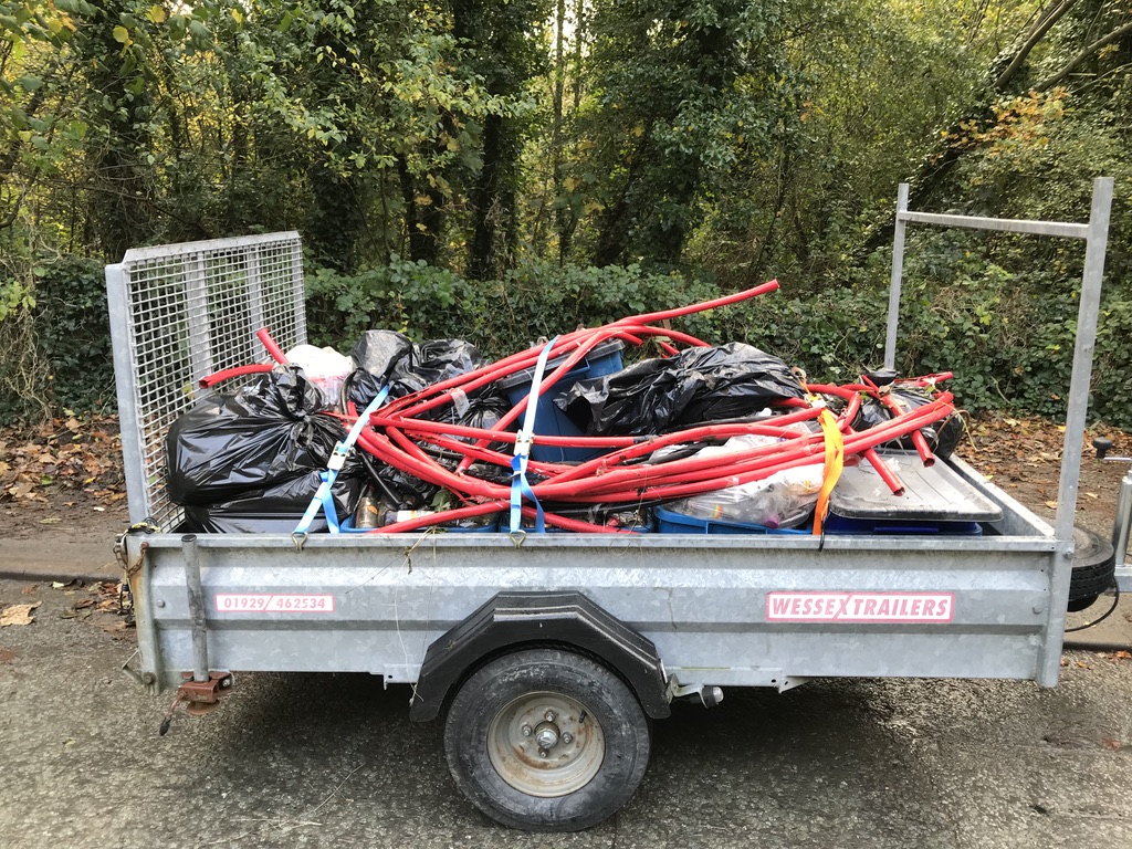
Trailer tied down ready to go
Thanks Andy (YnysMonBirders) for the photos.
We would like to make everyone aware that a syringe complete with needle was found in one of the arches. Please be vigilant when out and about geocaching, you never know what you may come across.
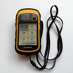
We have been using a GPS since we started Geocaching way back in 2010. Our first GPS was the eTrex 10 with no maps, we just ‘followed the arrow’, it did however support downloading Geocaching GPX files via USB which made it ideal for Geocaching. A testament to the eTrex’s toughness and simple design is that this model, although revised is still available today. It was bomb proof had no touch screen just a thumb-operated joystick, monochrome display and a pointer to where the destination was, and how far away it was. The eTrex has exceptional battery life but was slow to get a signal and its accuracy was truly hit or miss under tree canopies. This little unit spawned many adventures for us.
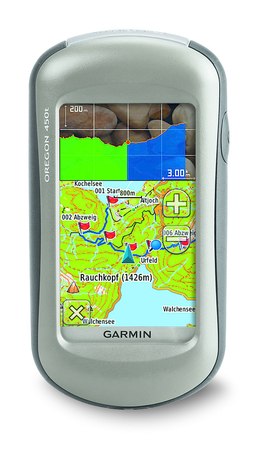
After a few years of finding ourselves on the wrong side of a river or having to make a long hike due to a dual carriageway or some other obstacle blocking our progress we decided on the Oregon 450T which had Ordnance Survey maps 1:50 k. This was a revelation and for the first time allowed us to see a map which allowed us to plot a route unhindered by obstructions. The Oregon 450t had a touch screen, a SD card slot for maps and extra data, an electronic compass, a barometric altimeter and could store thousands of Geocaches. We got about 6 years of use and abuse out of these units. Maintenance, mainly due to rough handling, resulted in screens being replaced, buttons fixed and other sundry parts replaced until they both were beyond repair. I recycled parts from both and with some bits off a Russian GPS breaker on eBay, a ‘Frankenstein’ Oregon 550 GPS was created, this had all the same features as the 450T it now sported a 3.2 megapixel geotagging camera. Although this unit has now slightly out of date OS maps it is still fully functional and in constant use to this day.
Garmin 450T By Garmin – garmin.com, CC BY-SA 3.0,
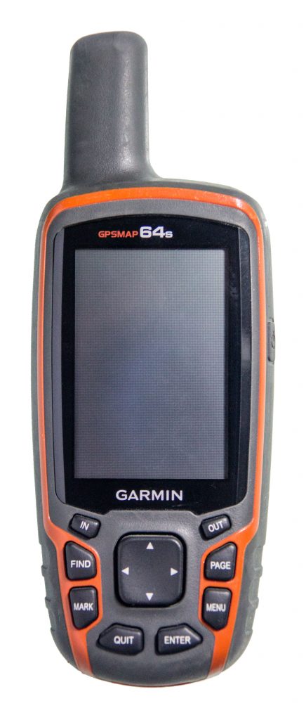
I personally own a Garmin GPSMAP 64s now, I never liked the touchscreen which with my big hands didn’t work so well for me, I love the buttons and simple menu system. The unit has a good sized display that can be read in bright sunlight which was always a problem with the older models and mobile phones. The reception is great even under trees, and the unit is quick to get a GPS lock. The 64s uses GPS + GLONASS + WAAS although not Galileo. I also 3D printed a simple mod that allows rechargeable batteries to be used and charged in the unit whilst connected to USB. Bluetooth is available and in reality only useful for transferring Geocaches to another compatible unit, it’s a battery killing extra I don’t need and is designed for external sensors like heart rate, therefore remains switched off.
Garmin GSMAP 64S By Virgilinojuca – Own work, CC BY-SA 4.0
So why do we still use this old tech? We get at least a couple of days battery life out of both the 550 and 64s which is a lot more than our mobile phones. If the battery runs out we just pop in another couple of AA batteries and off we go. They survive rough treatment much better than mobile phones. Detailed maps can be downloaded from sites like Open Street Maps and preloaded on SD Cards, these are always available even when there is no phone signal, this is also great for caching abroad where maps can be preloaded. They accurately track our route which can be examined in Garmin’s Basecamp software when we get home. I’m not saying GPS units are more useful than mobiles, but a phone with apps like Geocaching, C:geo, Looking 4 Cache is a perfect compliment to a GPS.
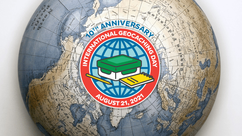
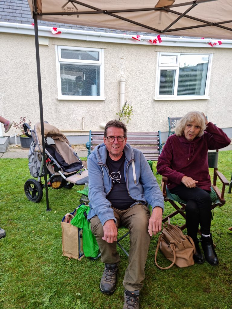
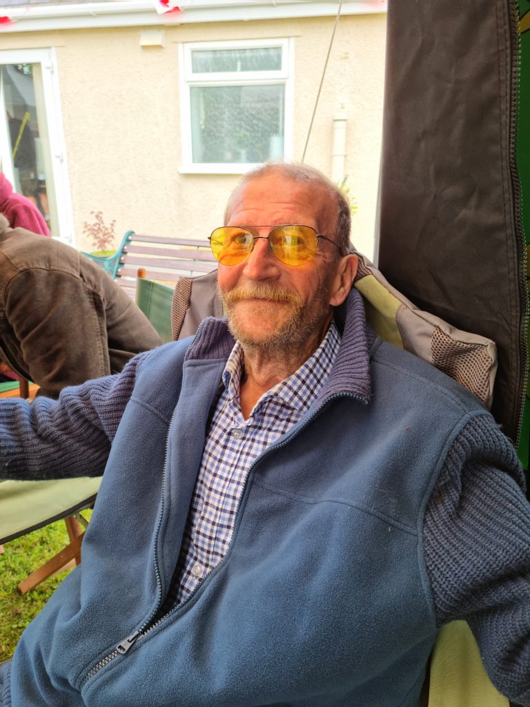
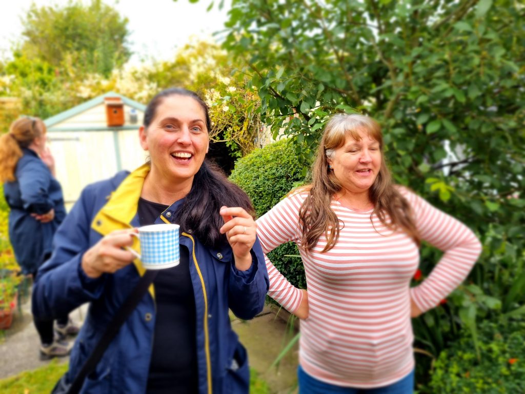
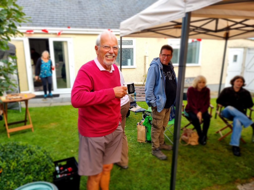
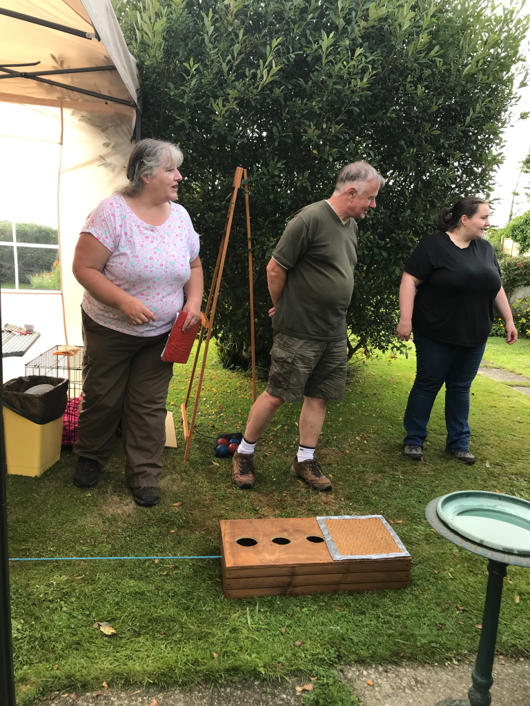
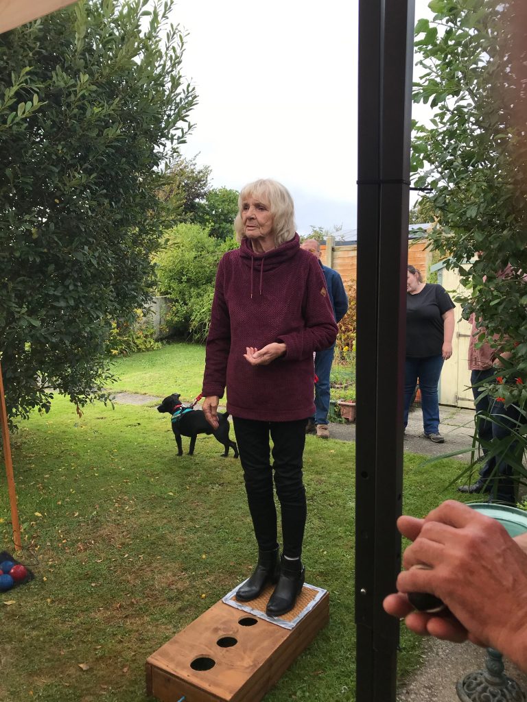
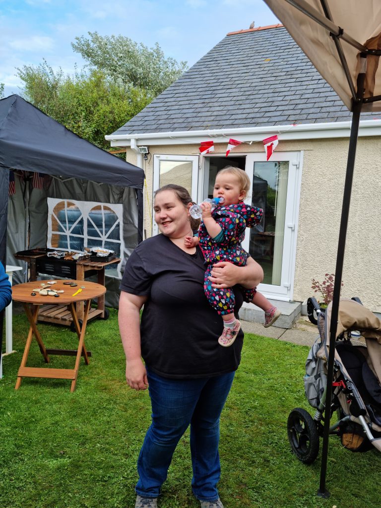
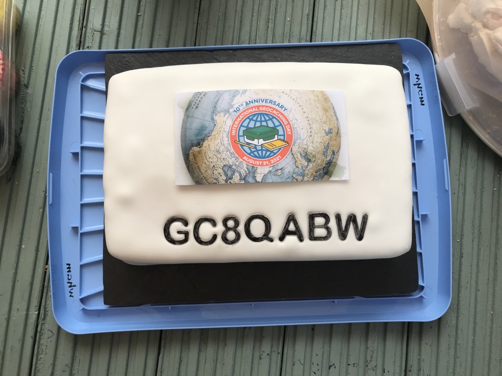
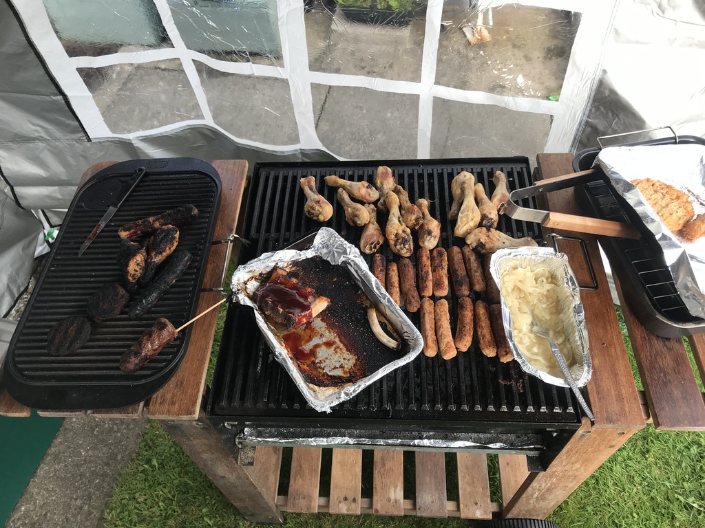
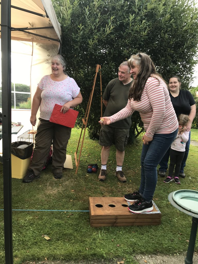
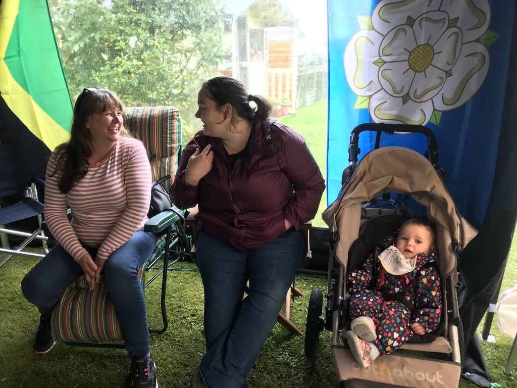
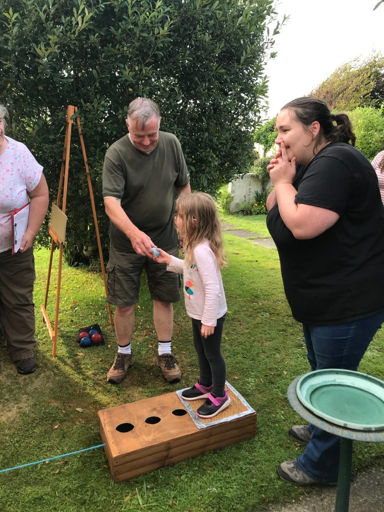
On Saturday 21st August, the 9 Usual Suspects celebrated 10th International Geocaching Day. The event was hosted by Bess’s Friends at Rocklands in Caergeiliog and despite the Met offices gloomy forecasts the rain held off. There was a great turnout with lots of the Usual Suspects along with some new faces. With the Geochat and food, of course, there were games this time organised by Bess’s Friends. The two teams were picked at random from a ‘hat’ with Bob and Steve being the first people out of the hat and therefore were nominated as team leaders. A treasure hunt was the first event and a great success for ‘Team Steve’, there was also a new throwing game donated by Team Marzipan which was successfully trialled, Elaine, Jude and Dawn were the only players to get a point, I think this says more about our collective dexterity than the game itself. ‘Team Bob’ fought back in subsequent games to win the competition by a narrow margin. Ray manned the BBQ and cooked the contributions bought by all, keeping up a regular supply of hot food for the afternoon. There also was a selection of home made cakes & puddings including a trifle from Sion, which complemented the great spread put on by Ray and Julie. The annual raffle was drawn, this one spanning 2 years due to covid with all the prizes being collected or posted to the winners. As part of the celebrations the 2021 TB Race was also started and the TBs embarked on their travels. The race can be tracked here as it unfolds over the coming year.
A huge thank you from all of us to Ray and Julie for their hard work in putting this event together.
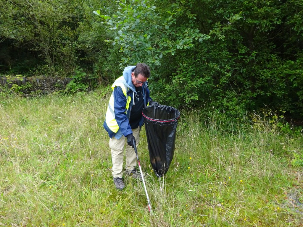
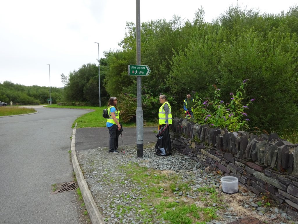
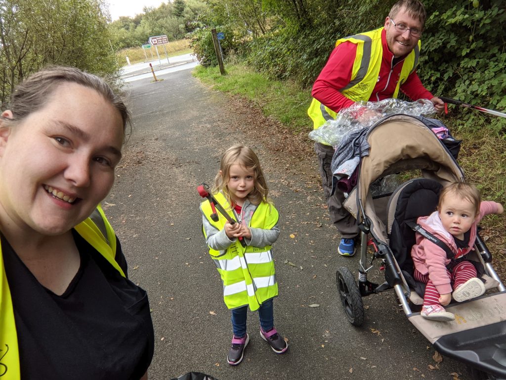
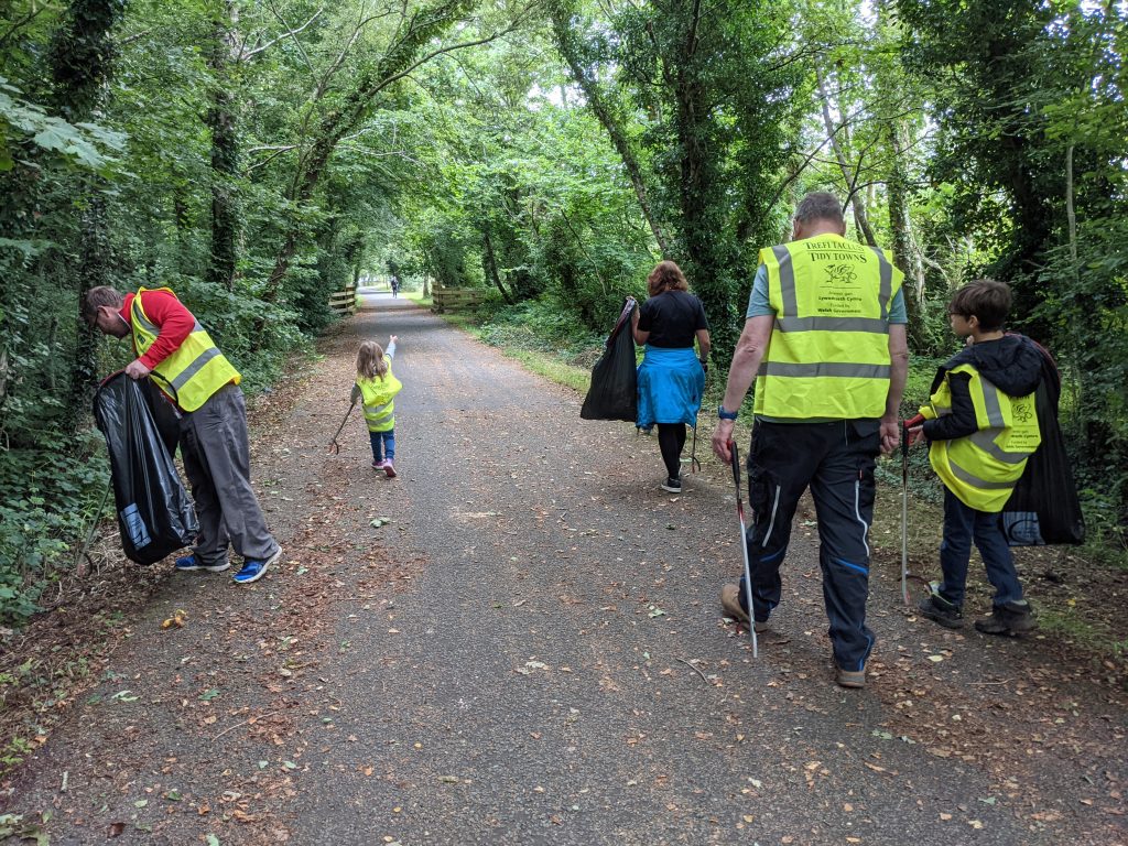
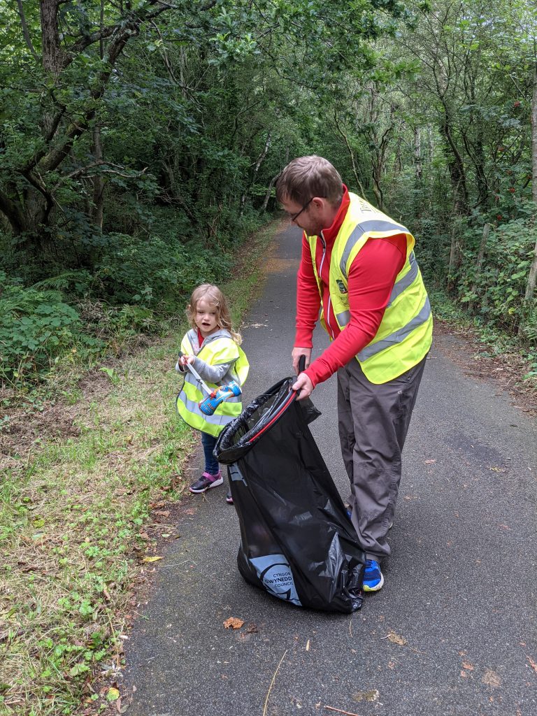
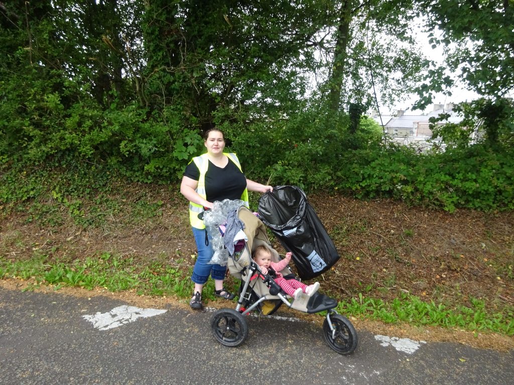
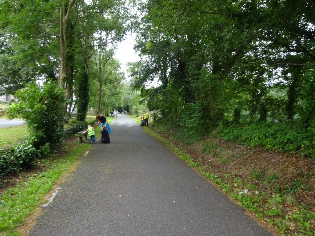
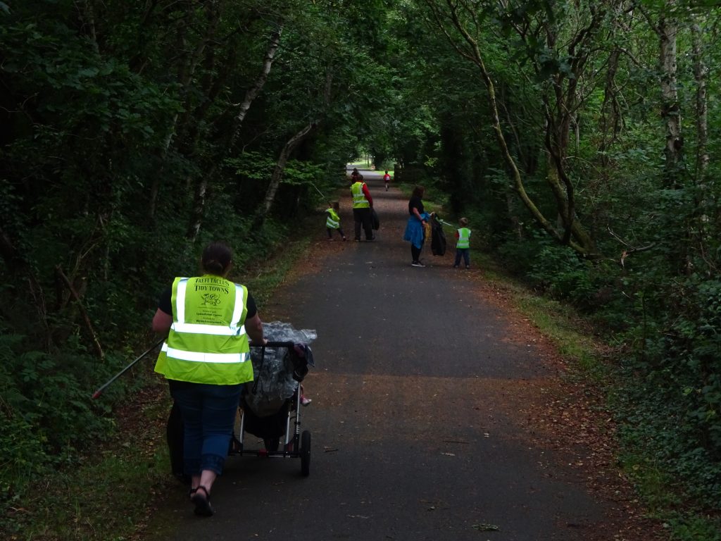
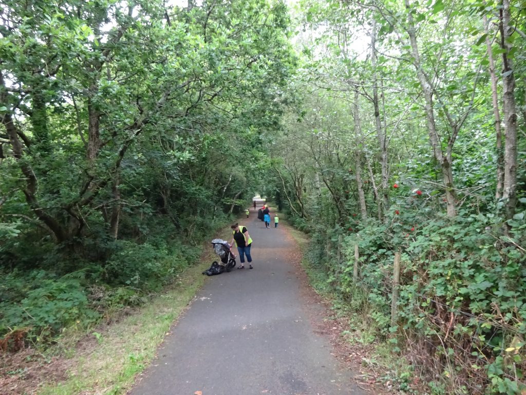
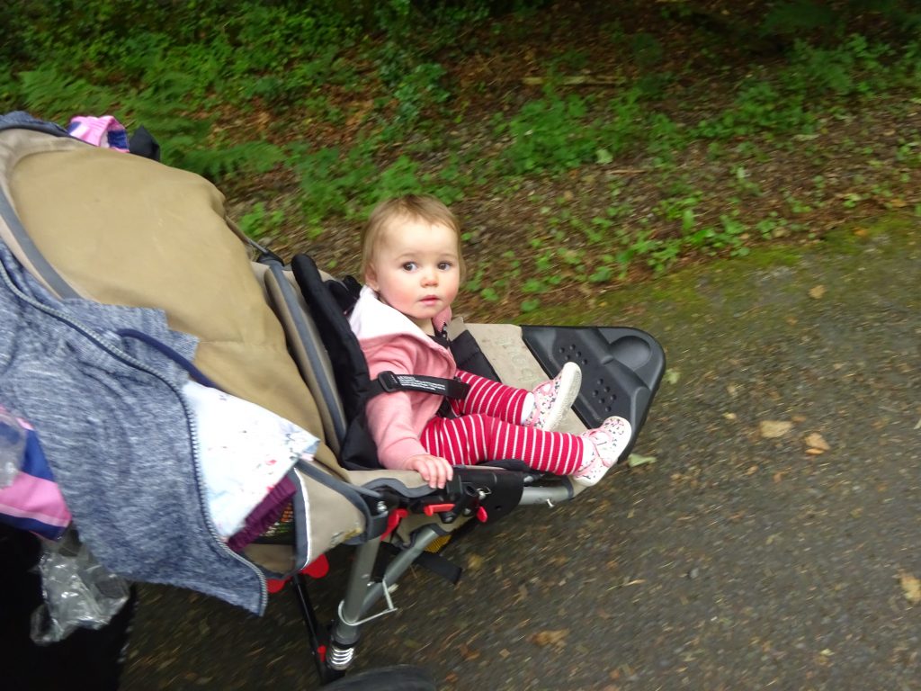
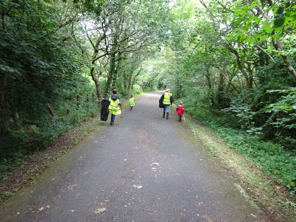
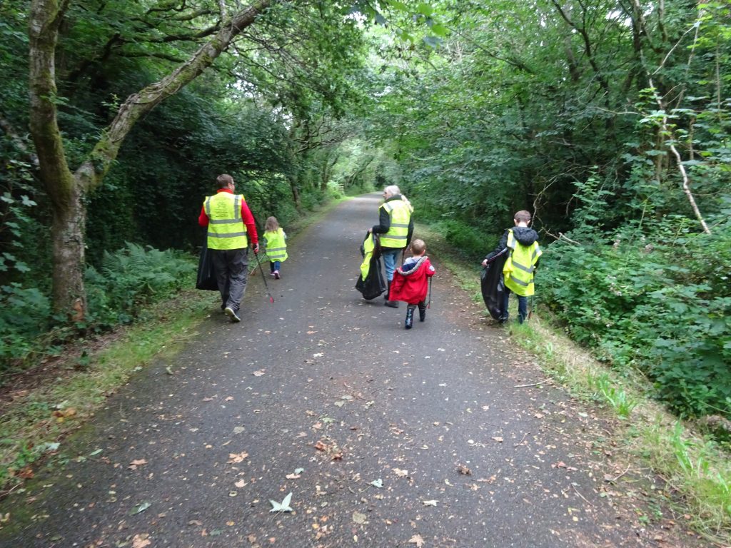
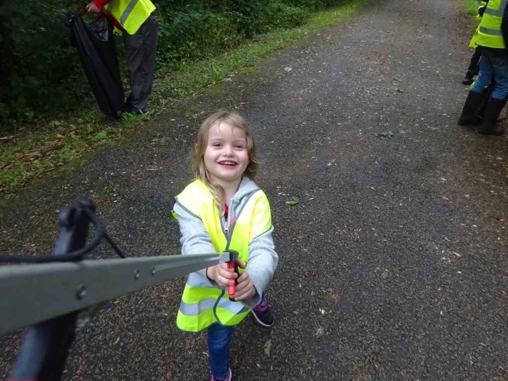
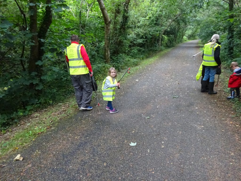
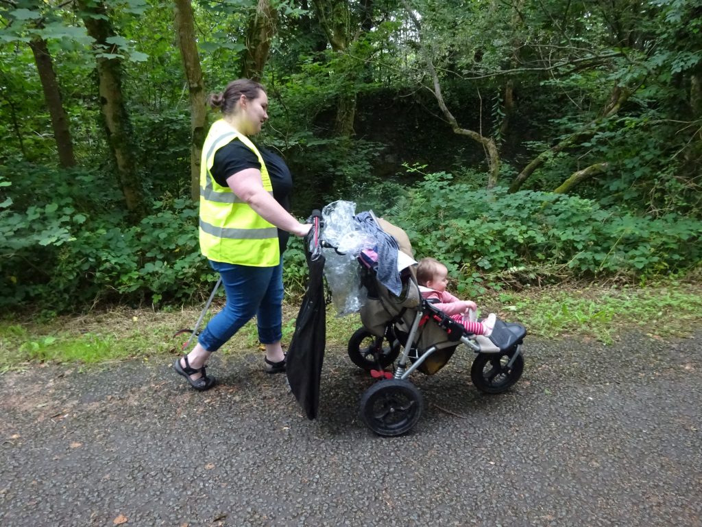
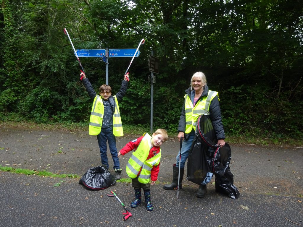
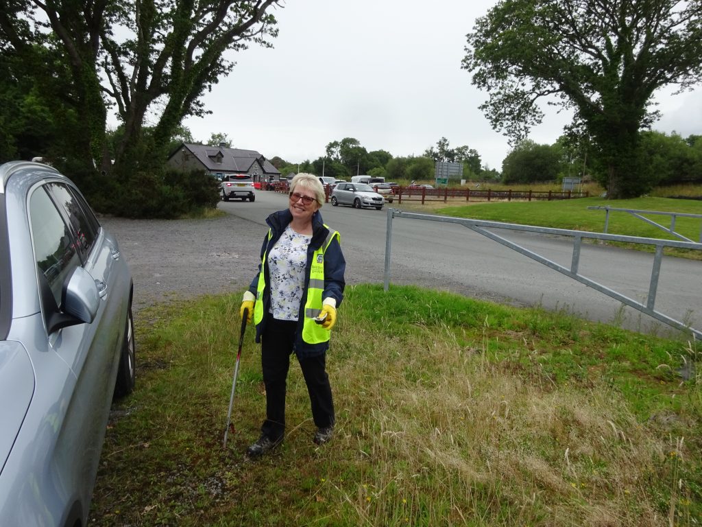
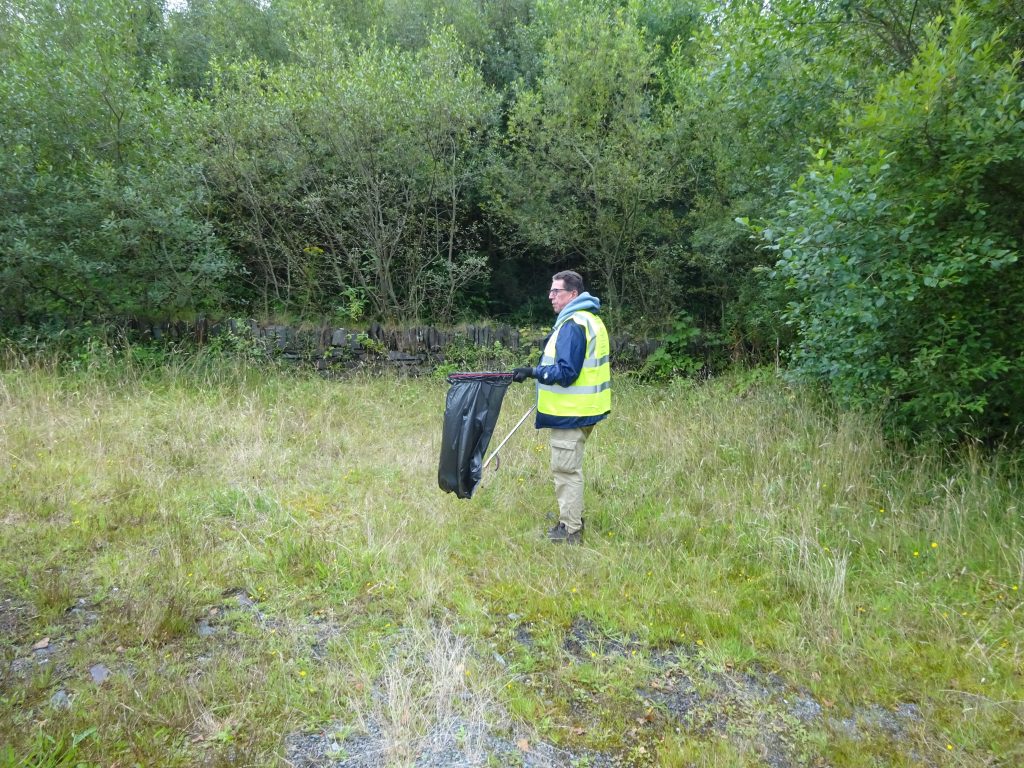
This CITO (Cache in Trash Out) was our first post-covid lockdown official geocaching event since 14 March 2020 and a chance to restore some normality. The weather forecast was iffy so kudos to all who defied the Met Office forecasts and turned out, as on the day, we had only the occasional light shower to contend with. This location was selected because: we have picked here before and know the location, it is fairly child friendly, and above all there was some litter to be picked. It was great to catch up with friends some of whom came from as far as Macklesfield and Oldham. It was also great to see some new faces and junior cachers who made a great contribution. In all 23 assisted with the litter pick including Diapason16 who happened to be in the area looking for a cache, he rolled up his sleeves and mucked in, unlike his daughter, who like a stereotypical teenager rolled her eyes and sat on the wall with her mobile phone :-). We cleared from Penygroes to Groeslon and collected about 12 bags of rubbish from the cycle path. The litter was sorted and taken to Rhwngddwyryd, Garndolbenmaen Recycling Center for disposal.
Many thanks to Inigo Jones Slate Works for letting us use their car park as a base for the CITO
Geocaching is both a game and a business Groundspeak who manage Geocaching are a business. Groundspeak shows adverts on their website if you are not a premium member but this is minimal and restricted to a couple of small ones in your sidebar. They don’t get into big contracts to promote other people’s wares, so the money has to come from somewhere! Premium membership is their primary source for funds and about 7p a day, it isn’t a bad deal for Website in 26 languages, iPhone and Android Geocaching App, Adventure labs & Wherigo. Hours of fun for a few pence a day!
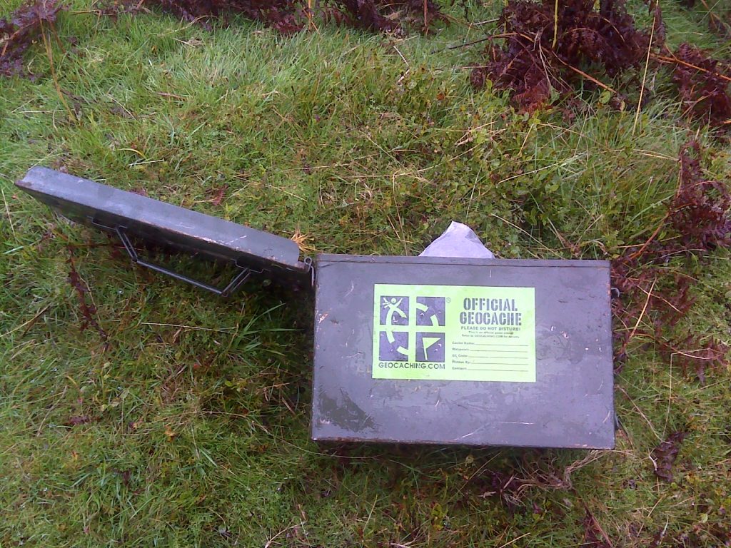
The orginal design of a Geocache
Play Fair Don’t be a Geocaching tyrant, it’s a game played by many people most of whom you will never meet or know anything about. When Caching, it’s helpful to remember that the cache belongs to the owner, and if they say no photos of logs, signatures required, they are perfectly within their rights to delete your log if it doesn’t live up to the requirements set out in the geocaching page. If you don’t like this, then avoid that users caches, there are millions more out there. While there are rules, people’s interpretation of them may differ from your own. Rules like leaving a throw down when the cache is obviously there goes without saying, but deleting someone’s log for not signing because it’s too wet isn’t fair play IMHO.If you are a cache owner, please try to be understanding. People from all walks of life and all abilities cache, not everyone is as perfect as you might like. When submitting a new cache remember that reviewers are people, volunteers, and fit Geocaching in around their lives. Reviewers try to be objective and ensure everyone follows the same rules, but they are Cachers, like you and I, work with them to get your caches published. Check what is required before you submit a cache and make sure all the required information is on your submission, missing information is the largest cause of rejected caches. It’s not the reviewers job to do the leg work for you when you submit your new entry, if a reviewer rejects a cache and you don’t understand why, ask them.
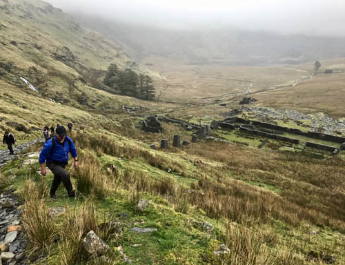
Damp conditions at Cwmorthin
Go equipped Having the right equipment makes for a great day of geocaching running out of battery or getting soaked is not. The primary item of course is a pen or pencil, and maybe a spare or two, there must be thousands of ‘lost’ writing implements left by Caches each week. Spare batteries or a power bank is essential for a day’s intensive caching, constantly using the GPS on your device is a heavy drain on batteries, and there’s nothing more infuriating than coming towards the end of lengthy series, only to have your phone die on you. If you are heading up to the moors or into the mountains, appropriate footwear and waterproofs are the absolute minimum, snacks, water and a whistle should be carried as well. There are many articles on what to carry in your day bag online that can help you better than I can. Check the weather before you set out, because in the UK, it’s not unusual to have 3 seasons in one day. If venturing up a mountain or moors, it is worth noting as you gain altitude, the temperature drops surprisingly fast, around 1°C for every 100m, cold, wet and miserable isn’t a great day and possibly the quickest way to put someone off caching. If you are going into the wild and off the paths for a day hike, tell someone where you are going and when you expect to be back, it might just save your life, and don’t forget to let them know you are back at the end of the day. Carry extra logbooks and pencils. We all know that it’s the Cache Owners’ responsibility to keep caches maintained, but sometimes life gets in the way, if you discover a cache with a full or wet log, please be kind and drop a new log in for them, don’t forget to message the cache owner and let them know what you have done. Please don’t slap a “Needs Archiving” on straight away, a simple message to the cache owner or a “Needs Maintenance” log is sufficient.
Ready for any weather
Get Social and meet other Cachers Geocaching can be a lonely game, it is usually played in secret, and that’s half the fun. There are lots of events where Cachers gather and share stories of their adventures and great finds. There’s all sorts of social events from Cache In Trash Out which could be a litter pick or working with an environmental group to remove an invasive species from an area to a get together for a chat. It’s a great way to make new friends and catch up with old ones.
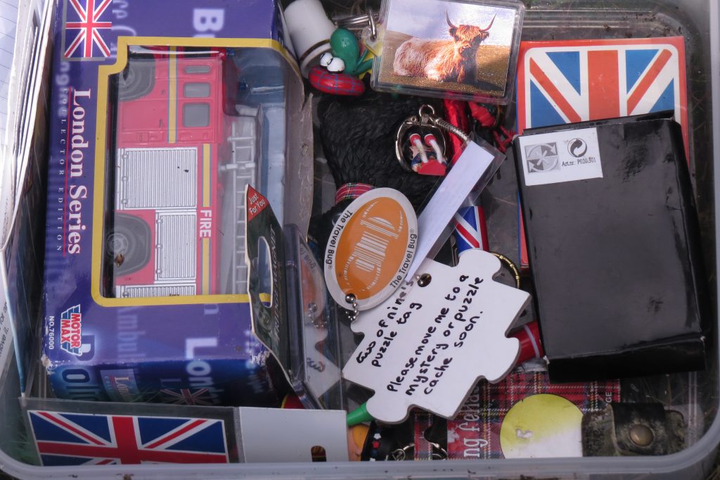
SWAG People who cache with kids love SWAG (Stuff we all get), it makes the day more exciting searching for treasure and primes the next generation of Cachers. The golden rule about SWAG: if you take something, leave something of equal or higher value. Kids and some adults love to find treasure, and it’s so much better if they can take a new toy away and leave something behind for others. If we want to keep the sport alive and growing, it’s our responsibility to pass our enthusiasm to the next generation. Ideas for what to put in: Small toys, Key Rings, souvenirs like woodies or path tags, Trading cards (in a waterproof seal easy bag), foreign coins, rain ponchos Do not put in: Perishables, e.g. sweets that go horrible quickly and mess up a cache, non family friendly items, fireworks, lighters, drugs, alcohol and any illegal materials should also not be placed in a cache, although if someone is considering placing any of the above items they really need to have a word with themselves.
A well stocked Cache
Lastly it’s a game have fun and help each other, it’s not that difficult 🙂
In the mid-late 20th century, before digital technologies, the radio was the easiest way to communicate over very long distances. The shortwave frequencies were crammed with pop stations, political propaganda and ham radio users. Jammed in between these transmissions, there were occasional unexplained broadcasts, some obvious analog data transmission and other unexplainable stations. Some of these broadcasts consisted of just a series of figures being read out in a mechanical voice, these often started with a short jingle beforehand to identify the station. Officially, no one knew what they were for, governments vehemently denied their existence, however, just about everybody knew these were spy communications. These mysterious transmissions were nicknamed numbers stations because of their transmissions consisting of apparently nothing else but sequences of numbers, and for want of a better name it stuck. I can vividly remember as a boy discovering these stations and being both puzzled and excited as I tried to decode them.
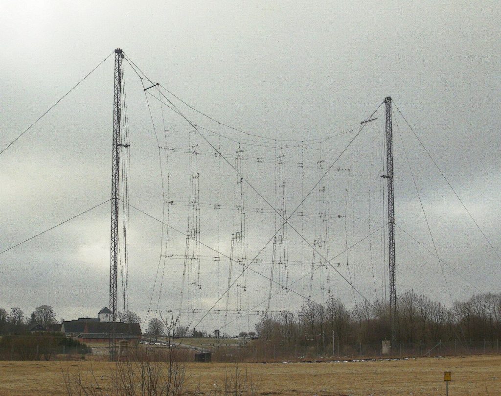
Antenna “G1” at Hörby Shortwave Station, near Hörby in the south of Sweden
Numbers stations were mysterious and suggested top secret agents, clandestine meetings, this was at the height of the cold war where the eastern bloc was the enemy from an unknown land and nuclear war was an ever present threat. They had names like the Linconshire Poacher, Cherry Ripe & The Russian man. It’s now certain these were transmitting codes using what’s called a One Way Voice Link (OWL) that required no response from the listener, apart from being tuned into a radio frequency at a given time along with their code book to decrypt the incoming message. The code was decrypted using One Time Pad (OTP), which at the time was considered completely unbreakable without the corresponding code book. The OTP was so called because the decoding sheet usually tiny was used just once then disposed of, each sheet had a random set of numbers which was used to decode the incoming message. There are 5 factors in using a OTP
The key must be as random as possible. The key must be at least as long as the plaintext so it never repeats. The key must never be reused even reusing part of the code would compromise the message. The key must be a secret between the sender and receiver. The key must be destroyed after use.
Using a one time pad
Every letter of the alphabet has its own number equivalent.
A
B
C
D
E
F
G
H
I
J
K
L
M
N
O
P
Q
R
S
T
U
V
W
X
Y
Z
01
02
03
04
05
06
07
08
09
10
11
12
13
14
15
16
17
18
19
20
21
22
23
24
25
26
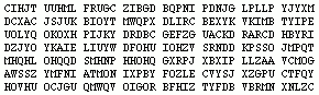
Convert letters to numbers
Replace letters with numbers from the table.
G
O
T
O
C
L
O
C
K
T
O
W
E
R
F
R
I
D
A
Y
07
15
20
15
03
12
15
03
11
20
15
23
05
18
06
18
09
04
01
25
Replace letters with numbers
Now add the Numbers from the pad to our replacement numbers, if more than 100 use the last two digits only, then divide into groups of 5 and transmit
To decode the message, the recipient uses the same page from his own one-time pad. Numbers are broken into pairs once again and subtracted, we will have to add 100 I the product of the 2 numbers is less than 0
Code
79
57
77
29
28
96
24
56
28
06
09
10
48
17
13
76
73
73
23
42
OTP
72
42
57
14
25
84
09
53
17
86
94
87
43
99
07
58
64
69
22
17
Add?
100
100
100
100
07
15
20
15
03
12
15
03
11
20
15
23
05
18
06
18
09
04
01
25
Decoded message at numbers stage
07
15
20
15
03
12
15
03
11
20
15
23
05
18
06
18
09
04
01
25
G
O
T
O
C
L
O
C
K
T
O
W
E
R
F
R
I
D
A
Y
Reconvert into the alphabet
Some OTP used X for spaces and punctuation and added an XX at the end of the code with padding letters after to make the code up to the required 5 letter blocks.
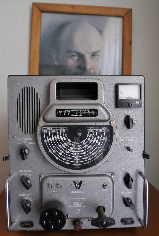
Russian Shortwave Volna-K radio set
OTP is still in use today as a medium to send encoded messages that require little equipment to decrypt once received. Even using brute force methods on super computers isn’t thought to be able to crack the code and is as secure as when it was devised in 1882 by Frank Miller, although Quantum Computing will change this when they become large enough.
Times have changed, with the opening up of the eastern bloc, greater knowledge of these places due to travel most of the mystery has gone. Now the internet is currently used for most of our day to day communications these transmissions are laborious and largely redundant, although a few number stations still exist because of their simplicity to operate in remote parts of the world.
GPS is now a part of everyday life, the ability to know exactly where you are on the planet was the dream of every navigator for millennia, now this is available at the press of a button. GPS is widely used in a variety of technologies such as mobile phones apps, cars navigation for both mapping and incident reporting, wildlife tracking which has yielded some interesting results for migratory birds and mammals and preventing crime by tracking desirable objects. This tech has only been available to the public since the year 2000 and has since become the most popular method of accurately establishing a location within metres.
Introduction
A short history of GPS Systems
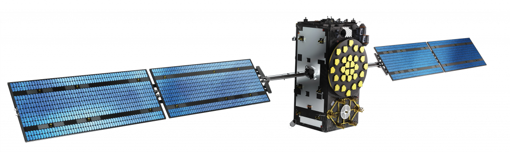
The first publicly available Global Navigation Satellite Systems (GNSS) was the USA’s Navstar GPS satellite constellation. This was a satellite-based radio navigation system owned by the United States government established in 1978 for the USA military and made public in the year 2000 by the Clinton administration. America’s newest GPS system is now just one of many that provide geolocation and time information to a GPS receiver anywhere on Earth where there is an unobstructed line of sight to four or more GPS satellites. Other GPS systems include Russia’s GLONASS, the European Union’s Galileo, and China’s Beidou Navigation Satellite System which offer varying degrees of accuracy, the Galileo system being the most accurate at less than 1 metre for public use and up to 20 cm accuracy for paying customers in 2021.
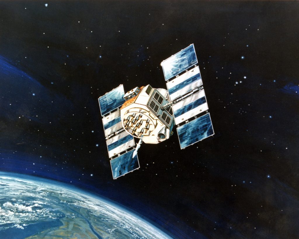
Artist’s concept of a NAVSTAR Global Positioning System satellite, a space-based radio navigation network.
How does a GPS work?
GPS systems use sets of dedicated satellites, called constellations, these are not stationary but are circling the earth so ‘rise and set’ twice a day, the satellites constantly send out signals, the GPS receiver listens for these signals they don’t transmit anything back to satellites. To determine the location of the GPS satellites two types of data are required by the GPS receiver: the almanac and the ephemeris. The almanac contains information about the status of the satellites and approximate orbital information allowing the receiver to see which satellites should be visible. After establishing what satellites should be available for you to get a fix, your GPS receiver requires additional data transmitted by each satellite, called the ephemeris, this data gives very precise information about the orbit and location of each individual satellite. The GPS receiver uses the ephemeris data to calculate the location of a satellite within a couple of metres and then by using the information that was transmitted to the GPS, your position can be calculated by triangulation using the delta in time signal transmitted and when it was received plus the location of the satellites. The ephemeris is updated every 2 hours and is usually valid for 4 hours, so If your GPS receiver has been off for a while, it may take up to several minutes to receive the ephemeris data from each satellite, before it can get a fix, this is known as a cold start. Obstacles such as mountains and buildings block the relatively weak GPS signals, this will ‘lengthen’ and therefore distort the time to receive the data or even give a false location. On a Mobile phone, there is an additional A-GPS mode which uses the cell towers to calculate the initial position of the user very quickly but with less accuracy, unlike pure GPS this may send information back to a server where that might be helpful to process position. Once the receiver calculates its distance from four or more GPS satellites, it can figure out where you are to approximately a 7.8-metre accuracy and depending on the system in use the accuracy might increase. Using GPS for locating a point of the earth is a key component for Geocachers in their quest to find caches, hence the saying follow the arrow.
One of the Galileo Satellite Constellation
Tips and tricks 1 Having obstructions between the GPS and satellites causes issues where 3 – 4 satellites cannot be seen simultaneously, this is most often seen in cities and forests where accuracy quickly degrades.
2 Multi-path or Signal reflection occurs when the GPS signal is reflected off buildings or other objects, this can delay the time-clock signal sent out by satellite and cause a miscalculation again resulting in degradation of accuracy.
3 In the Northern Hemisphere Face the internal Antenna toward open Southern, SW, SE, in the Southern Hemisphere revers this, most of the satellites are clustered around the equator, this will make getting a fix and maintaining on easier.
4 Low batteries invariably cause issues with GPS systems, make sure that your batteries aren’t on their last legs.
5 When you switch on GPS after moving more than 25 miles or replacing batteries keep it in one position in the open air to allow the ephemeris data to update, it will get a fix far quicker than moving with it.
6 Keep firmware up to date, if there are any bugs in your GPS program an update will fix the issues. If there are more up-to-date base maps in GPS standalone system, an update will repair that, too.
7 GPS systems are not infallible so use common sense and your Mk 1 eyeball to check what you are being told by the system matches reality, learn to read a map and research where you are going. Most Geocachers will have stories of reaching a river or cliff face and being just meters from a cache that could not be reached without retracing their steps and trying another path.
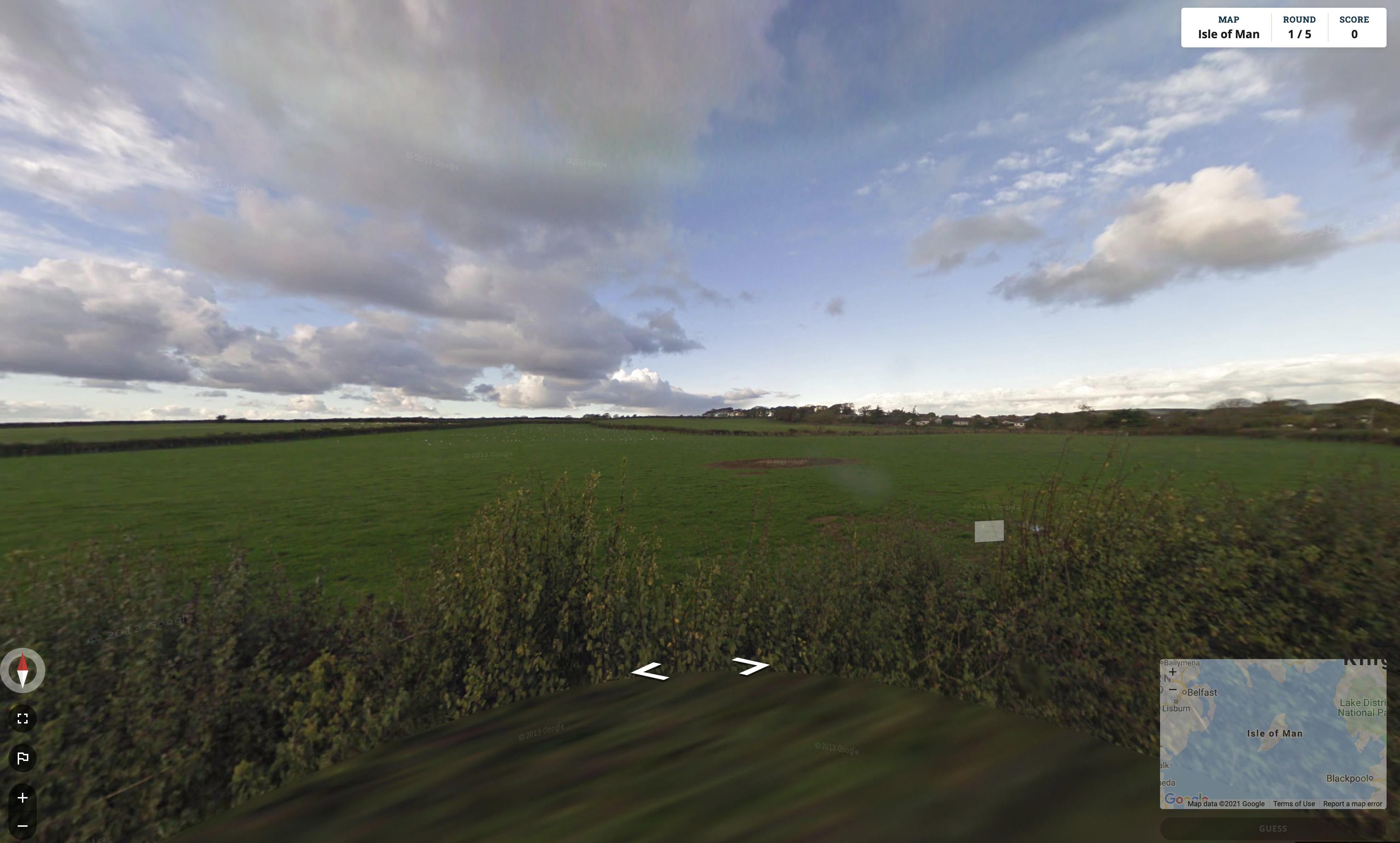
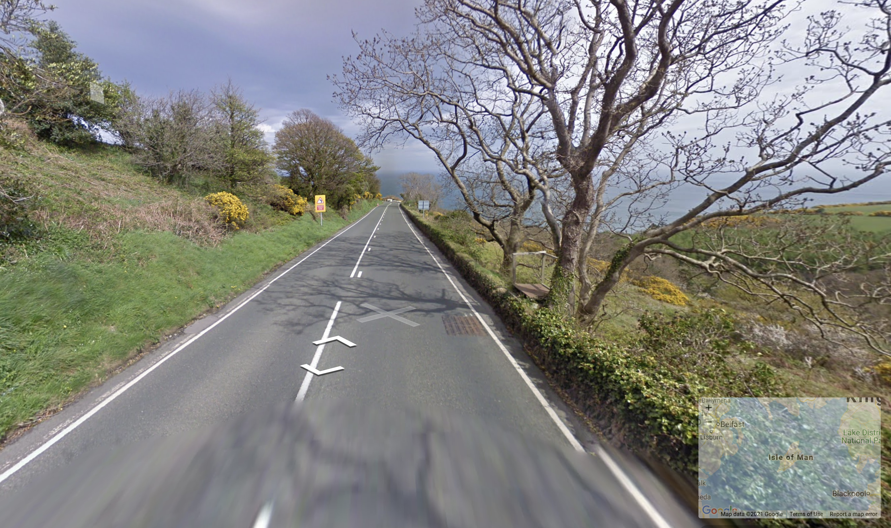
If you found yourself dropped into a random location on Earth, would you be able to use clues about the vehicles, vegetation, landscape, buildings, and signs to figure out where in the world you have been placed?
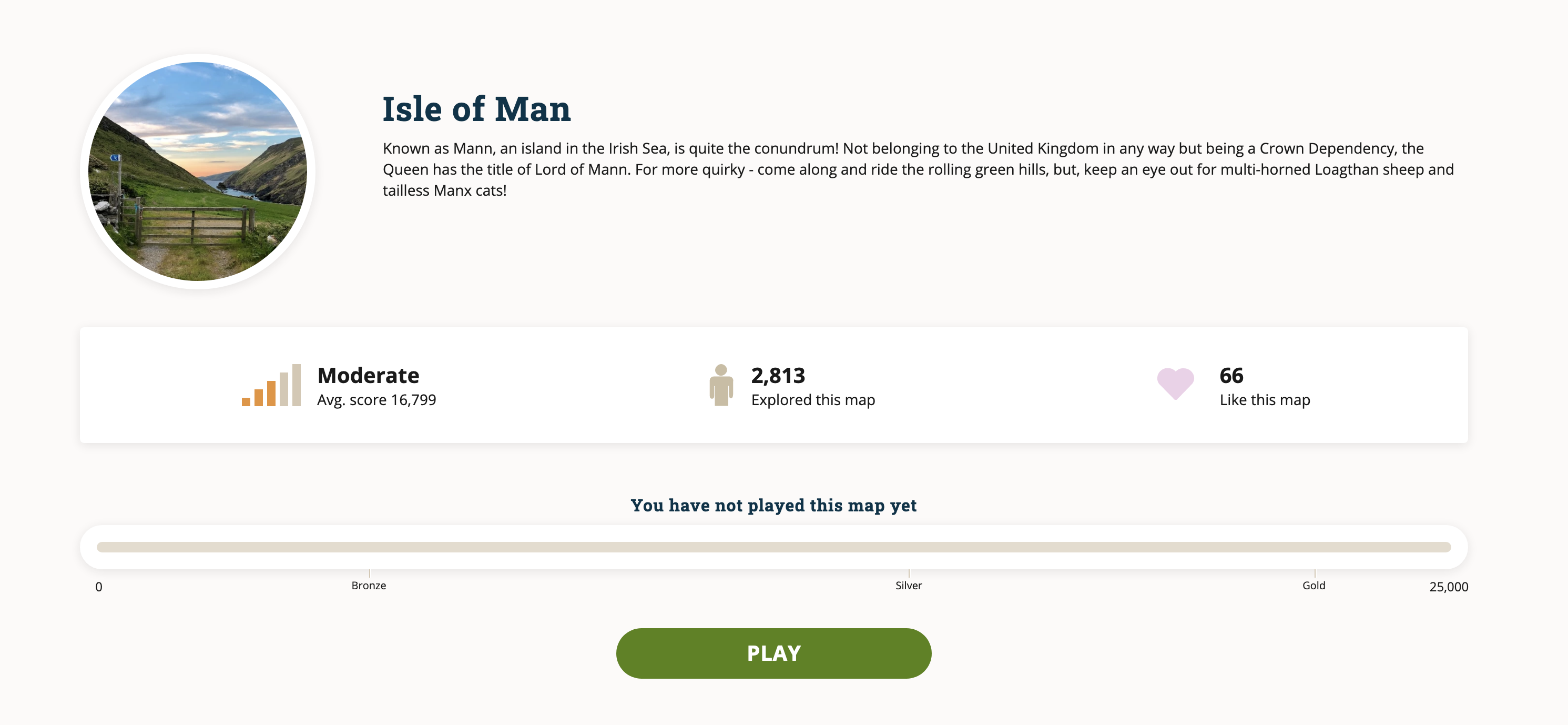
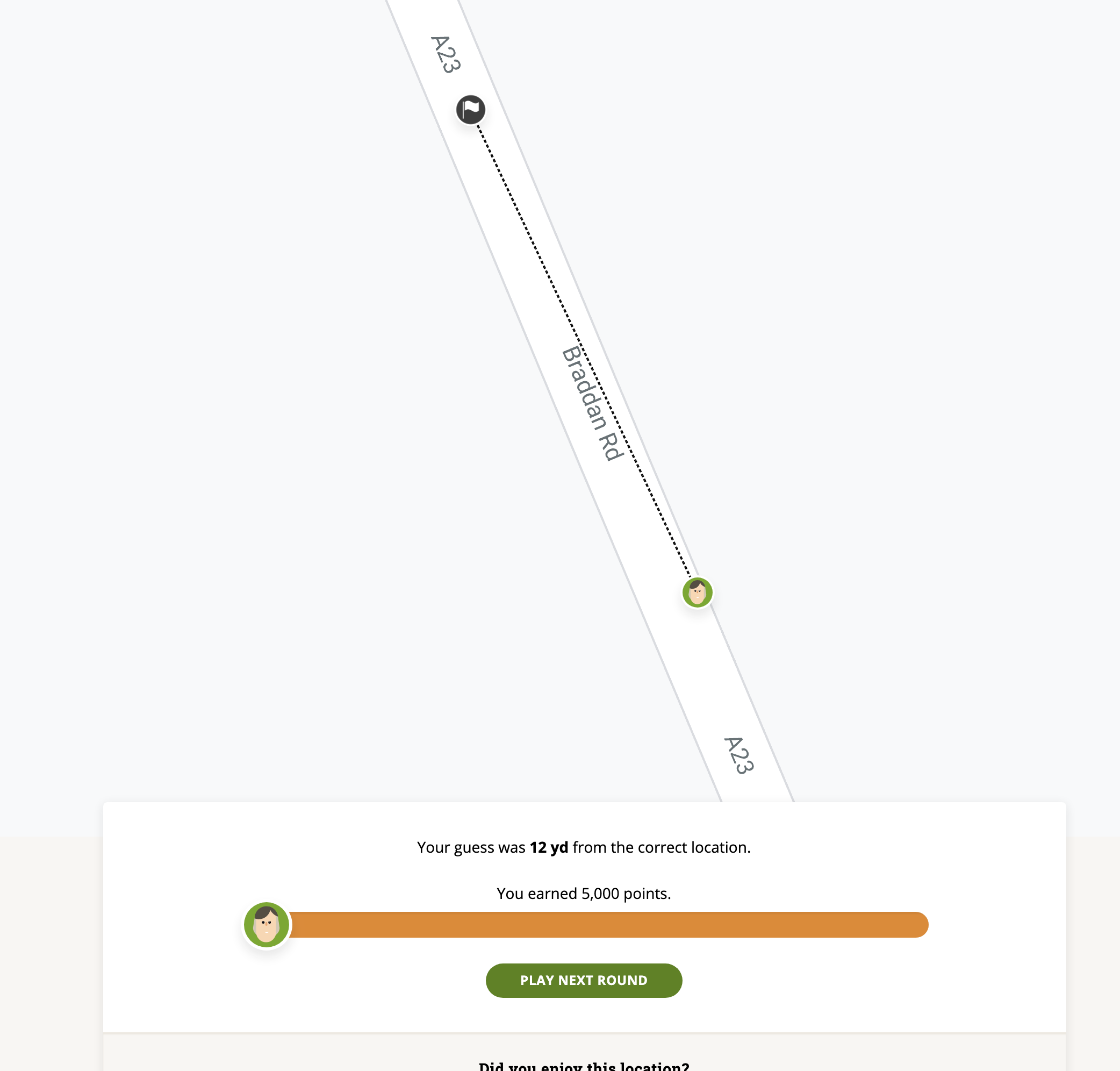
GeoGuessr is an online game that uses Google Street View to provide 5 locations for you to work out where you are, sometimes it’s easy, say being dropped in the centre of a large city with plenty of recognisable landmarks and street names, however being dropped on the Mongolian Altai alpine meadow with no recognisable structures is way more challenging (hint, yurts a good sign that you are in Mongolia). Like Geocaching this game increases your awareness of the ordinary world as you become more conscious of different writing systems on signs around the world, or styles of building, vehicles, dress even road markings sometimes provide a clue and to where you are.
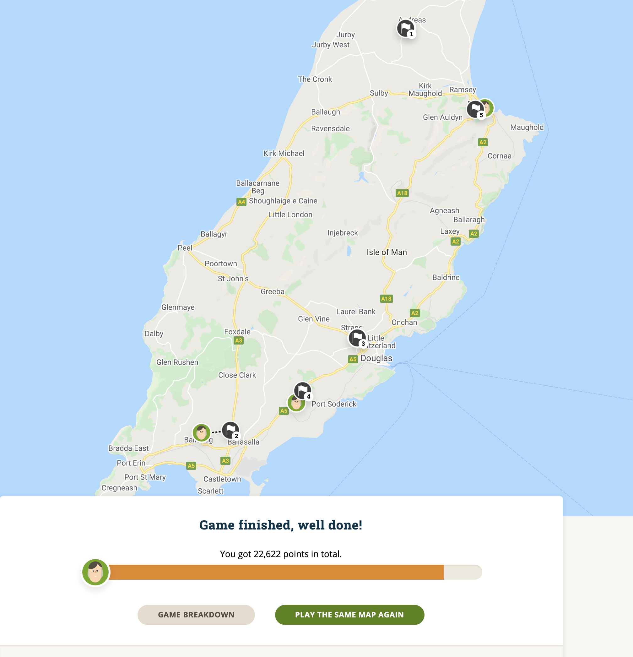
The scoring is different by game but consistently a “perfect” guess is worth 5000 points with descending scores depending on the size of the map and eventually decreasing to 0 for being at the point on Earth’s surface diametrically opposite to the target (antipode). A typical game lasts five rounds, so 25,000 points would constitute a perfect game score.
Start the game
Start Game
Drop off Point
More Information
My Guess
There are various Modes available,
Daily Challenge – only one go at this allowed per day with 5 rounds, each with a 3-minute limit to get as close to the Landing point as possible. There aren’t any formal rules for the Daily Challenge or GeoGuessr, like Geocaching you set your own rules, to us Googling somehow seems to be cheating and we avoid that.
Explorer mode – Pick a country to play from the map or the list and explore. This is single player mode with unlimited time to explore, medals are awarded for high scores, with the goal of a gold medal for each country available.
Country Streak– this can be played either as a single-player or challenge mode where players can compete against each other. The simple objective in this mode is to guess the country you are in rather than guessing the specific location. There are several options for this where you can restrict movement, panning and/or zooming and if that isn’t enough pressure a time limit can be set as well. Players are challenged to attempt at scoring as many correct guesses as possible in one attempt, the game finishes when the player guesses a country wrong.
Battle Royale – compete with others, where one by one player are eliminated until only the winner remains.
There are many other options such as ‘famous places’, ‘urban worlds’ and even a ‘dumb test’ with ultra-easy maps to explore.
Free vs Paid In 2019 Google increased its prices for using Street View and Google Maps forcing GeoGuessr to limit the free play game. Charges are kept at a minimum with the present cost of pro membership being $1.99 per month or $23.88 per year. Pro members get unlimited maps access to Daily challenge, Pro Leagues where you can set up your own league with your friends. Games are scheduled automatically, and notices sent to your fellow explorers. Also making and sharing your own maps is available at this level.
This is an addictive game in both the limited free and pro versions, it’s a substitute for actually being there and exploring and well worth the subscription fees as a replacement for Geocaching whilst we are ‘locked down’


