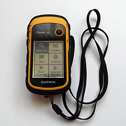
We have been using a GPS since we started Geocaching way back in 2010. Our first GPS was the eTrex 10 with no maps, we just ‘followed the arrow’, it did however support downloading Geocaching GPX files via USB which made it ideal for Geocaching. A testament to the eTrex’s toughness and simple design is that this model, although revised is still available today. It was bomb proof had no touch screen just a thumb-operated joystick, monochrome display and a pointer to where the destination was, and how far away it was. The eTrex has exceptional battery life but was slow to get a signal and its accuracy was truly hit or miss under tree canopies. This little unit spawned many adventures for us.

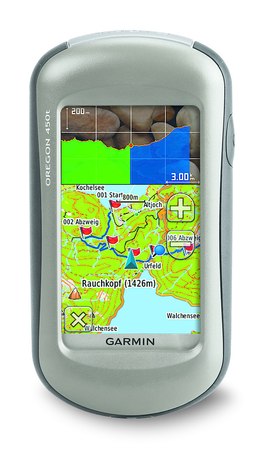
After a few years of finding ourselves on the wrong side of a river or having to make a long hike due to a dual carriageway or some other obstacle blocking our progress we decided on the Oregon 450T which had Ordnance Survey maps 1:50 k. This was a revelation and for the first time allowed us to see a map which allowed us to plot a route unhindered by obstructions. The Oregon 450t had a touch screen, a SD card slot for maps and extra data, an electronic compass, a barometric altimeter and could store thousands of Geocaches. We got about 6 years of use and abuse out of these units. Maintenance, mainly due to rough handling, resulted in screens being replaced, buttons fixed and other sundry parts replaced until they both were beyond repair. I recycled parts from both and with some bits off a Russian GPS breaker on eBay, a ‘Frankenstein’ Oregon 550 GPS was created, this had all the same features as the 450T it now sported a 3.2 megapixel geotagging camera. Although this unit has now slightly out of date OS maps it is still fully functional and in constant use to this day.

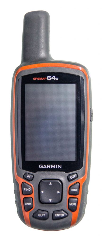
I personally own a Garmin GPSMAP 64s now, I never liked the touchscreen which with my big hands didn’t work so well for me, I love the buttons and simple menu system. The unit has a good sized display that can be read in bright sunlight which was always a problem with the older models and mobile phones. The reception is great even under trees, and the unit is quick to get a GPS lock. The 64s uses GPS + GLONASS + WAAS although not Galileo. I also 3D printed a simple mod that allows rechargeable batteries to be used and charged in the unit whilst connected to USB. Bluetooth is available and in reality only useful for transferring Geocaches to another compatible unit, it’s a battery killing extra I don’t need and is designed for external sensors like heart rate, therefore remains switched off.

So why do we still use this old tech? We get at least a couple of days battery life out of both the 550 and 64s which is a lot more than our mobile phones. If the battery runs out we just pop in another couple of AA batteries and off we go. They survive rough treatment much better than mobile phones. Detailed maps can be downloaded from sites like Open Street Maps and preloaded on SD Cards, these are always available even when there is no phone signal, this is also great for caching abroad where maps can be preloaded. They accurately track our route which can be examined in Garmin’s Basecamp software when we get home. I’m not saying GPS units are more useful than mobiles, but a phone with apps like Geocaching, C:geo, Looking 4 Cache is a perfect compliment to a GPS.

I still use an etrex 10 a fair bit of the time, especially on higher-terrain caches where I’d worry about soaking or breaking my phone if I used it. Not found the lack of maps to be a huge problem, in that for the sort of walk where I’d use that rather than my phone I’m almost always carrying a map and compass anyway.
(I once had a gps unit die suddenly and completely in the middle of nowhere – the garmin geko I started my caching career with, which, after several years of wet hillwalking (and, on one occasion, being dropped down the loo) gave up the ghost on a particularly soggy day on Dartmoor and never worked again. Oh, well, compass bearings back to the car, then … but I think I would probably have killed several phones in that time if my phone had been my default technology.)