GPS is now a part of everyday life, the ability to know exactly where you are on the planet was the dream of every navigator for millennia, now this is available at the press of a button. GPS is widely used in a variety of technologies such as mobile phones apps, cars navigation for both mapping and incident reporting, wildlife tracking which has yielded some interesting results for migratory birds and mammals and preventing crime by tracking desirable objects. This tech has only been available to the public since the year 2000 and has since become the most popular method of accurately establishing a location within metres.
Introduction
A short history of GPS Systems
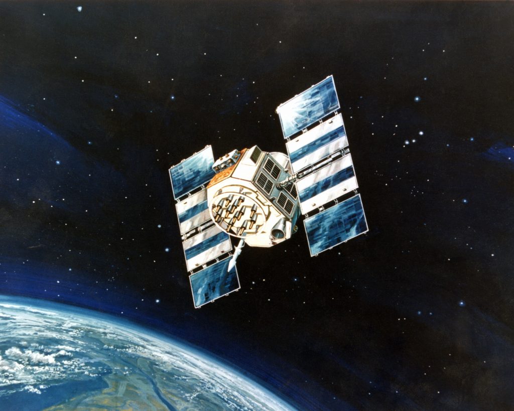
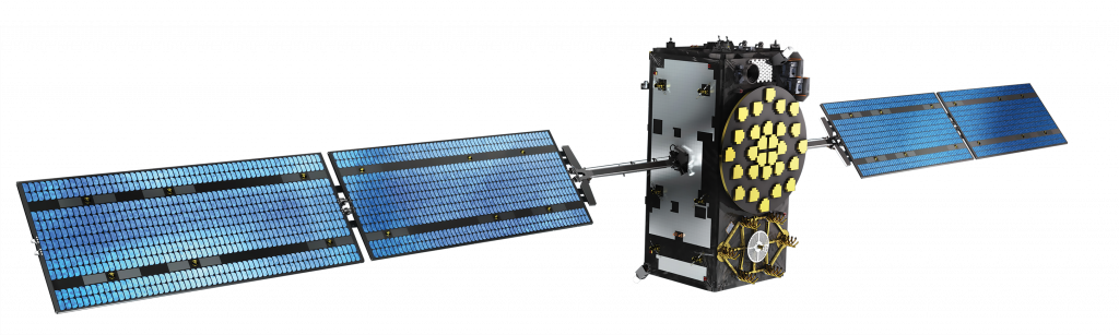
The first publicly available Global Navigation Satellite Systems (GNSS) was the USA’s Navstar GPS satellite constellation. This was a satellite-based radio navigation system owned by the United States government established in 1978 for the USA military and made public in the year 2000 by the Clinton administration. America’s newest GPS system is now just one of many that provide geolocation and time information to a GPS receiver anywhere on Earth where there is an unobstructed line of sight to four or more GPS satellites. Other GPS systems include Russia’s GLONASS, the European Union’s Galileo, and China’s Beidou Navigation Satellite System which offer varying degrees of accuracy, the Galileo system being the most accurate at less than 1 metre for public use and up to 20 cm accuracy for paying customers in 2021.
How does a GPS work?
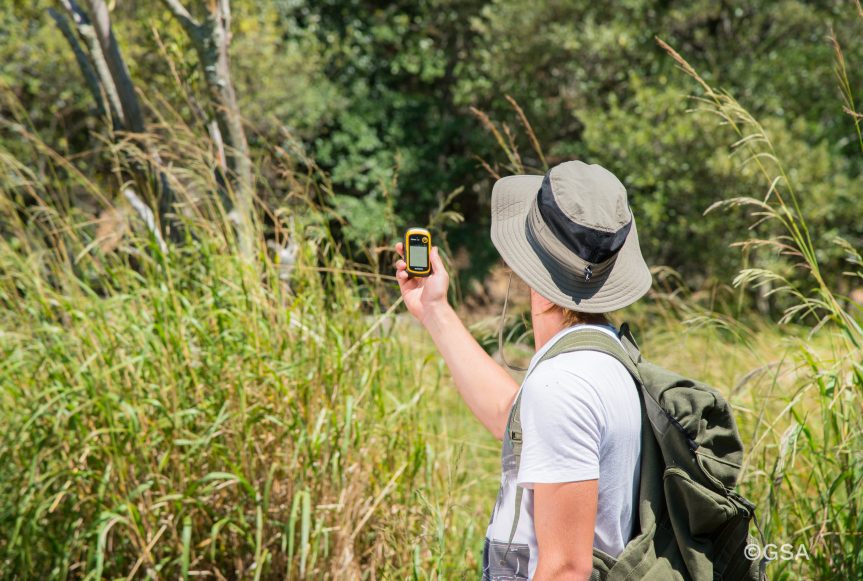
GPS systems use sets of dedicated satellites, called constellations, these are not stationary but are circling the earth so ‘rise and set’ twice a day, the satellites constantly send out signals, the GPS receiver listens for these signals they don’t transmit anything back to satellites. To determine the location of the GPS satellites two types of data are required by the GPS receiver: the almanac and the ephemeris. The almanac contains information about the status of the satellites and approximate orbital information allowing the receiver to see which satellites should be visible. After establishing what satellites should be available for you to get a fix, your GPS receiver requires additional data transmitted by each satellite, called the ephemeris, this data gives very precise information about the orbit and location of each individual satellite. The GPS receiver uses the ephemeris data to calculate the location of a satellite within a couple of metres and then by using the information that was transmitted to the GPS, your position can be calculated by triangulation using the delta in time signal transmitted and when it was received plus the location of the satellites. The ephemeris is updated every 2 hours and is usually valid for 4 hours, so If your GPS receiver has been off for a while, it may take up to several minutes to receive the ephemeris data from each satellite, before it can get a fix, this is known as a cold start. Obstacles such as mountains and buildings block the relatively weak GPS signals, this will ‘lengthen’ and therefore distort the time to receive the data or even give a false location. On a Mobile phone, there is an additional A-GPS mode which uses the cell towers to calculate the initial position of the user very quickly but with less accuracy, unlike pure GPS this may send information back to a server where that might be helpful to process position. Once the receiver calculates its distance from four or more GPS satellites, it can figure out where you are to approximately a 7.8-metre accuracy and depending on the system in use the accuracy might increase. Using GPS for locating a point of the earth is a key component for Geocachers in their quest to find caches, hence the saying follow the arrow.
Tips and tricks
1 Having obstructions between the GPS and satellites causes issues where 3 – 4 satellites cannot be seen simultaneously, this is most often seen in cities and forests where accuracy quickly degrades.
2 Multi-path or Signal reflection occurs when the GPS signal is reflected off buildings or other objects, this can delay the time-clock signal sent out by satellite and cause a miscalculation again resulting in degradation of accuracy.
3 In the Northern Hemisphere Face the internal Antenna toward open Southern, SW, SE, in the Southern Hemisphere revers this, most of the satellites are clustered around the equator, this will make getting a fix and maintaining on easier.
4 Low batteries invariably cause issues with GPS systems, make sure that your batteries aren’t on their last legs.
5 When you switch on GPS after moving more than 25 miles or replacing batteries keep it in one position in the open air to allow the ephemeris data to update, it will get a fix far quicker than moving with it.
6 Keep firmware up to date, if there are any bugs in your GPS program an update will fix the issues. If there are more up-to-date base maps in GPS standalone system, an update will repair that, too.
7 GPS systems are not infallible so use common sense and your Mk 1 eyeball to check what you are being told by the system matches reality, learn to read a map and research where you are going. Most Geocachers will have stories of reaching a river or cliff face and being just meters from a cache that could not be reached without retracing their steps and trying another path.