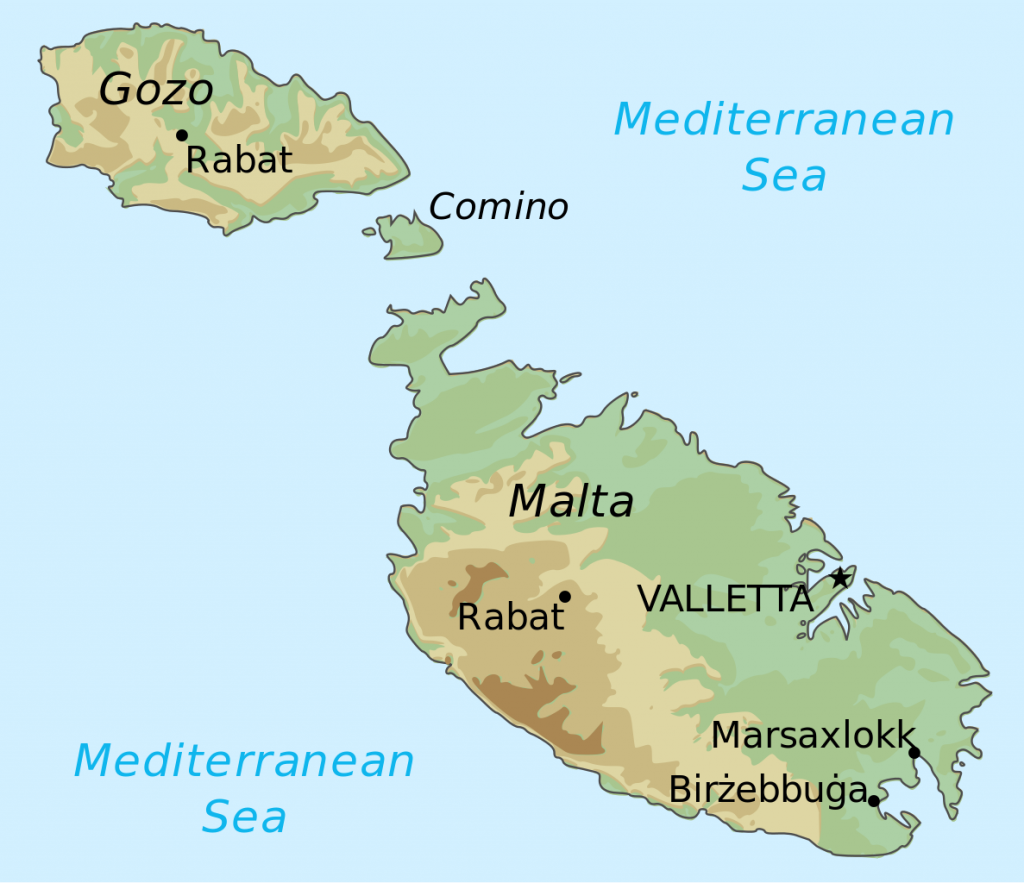
Looking for some winter sun? We can highly recommend Malta for a winter’s Geocaching break. The country of Malta consists of five limestone islands situated in the Mediterranean sea between Sicily and North Africa. Only the 3 largest islands are inhabited Malta, Gozo and Comino. Malta has a typical Mediterranean climate with mild winters and hot summers, rain occurs mainly in autumn and winter, with summer being generally dry. The average annual temperature is around 23 °C during the day and 15.5 °C at night. In August temperatures can exceed 35 °C. We visited at the beginning of February when daytime temperatures were 18-21 °C and we were very lucky to have no rain. The islands at this time of year are very pretty with masses of wild flowers, later in the year it can be very hot, dry, and dusty.
Independence from Britain was granted in 1964 and in 1974 Malta became a republic joining the EU in 2004. The islands have had a succession of different rulers including the Romans, Moors, Knights of Saint John, French and, lastly the British, all of which have left their influence in architecture and culture.
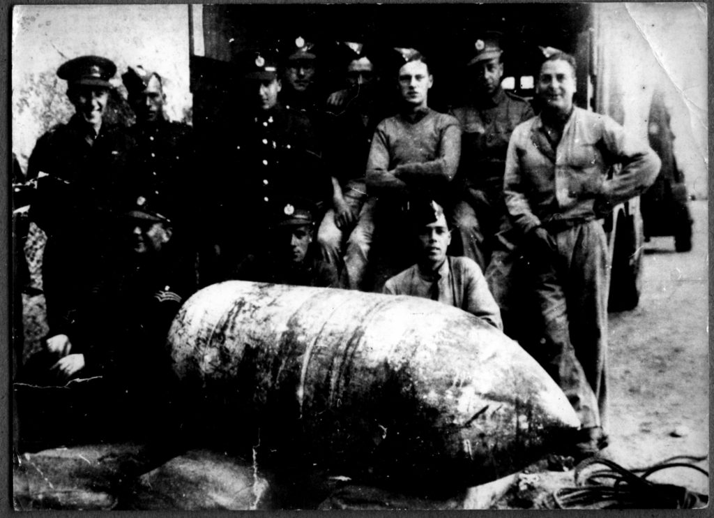
During the 2nd World War Malta was strategically a very important base for the Allied forces. The German and Italian air forces heavily bombed the islands causing devastating damage. In 1942 the George Cross was presented to the island of Malta in recognition of the bravery of the Maltese people. The beautiful catholic church at Mosta, Sanctuary Basilica of the assumption of our Lady, is famous for avoiding destruction when a German bomb fell through the roof of the dome during mass but failed to explode. This event was interpreted by the Maltese people as a miracle. A replica of the bomb can be found in the church.
GC7WAWP Rotunda Multi by aliandmart Multi D2/T2
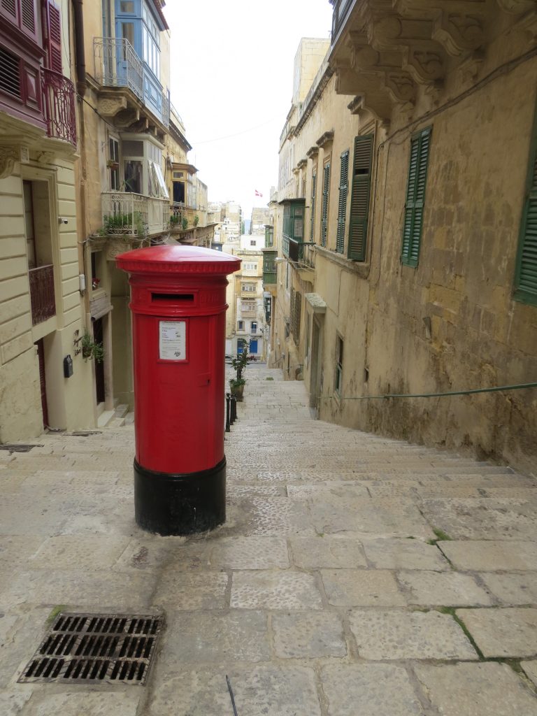
The main advantages to the British traveller is that English is widely spoken, being an official language with 88% of Maltese people speaking it and they also drive on the left. The majority of road signs are the same as found in the UK and all written road signage is in dual languages making it easy to explore the islands. There is an efficient public bus service on Malta and Gozo, it is another good way to get around as the buses go practically everywhere and are inexpensive. Red telephone and post boxes are scattered across the islands are another reminder of the British connection.
The beautiful Dingli Cliffs lay on the western coast and are the highest point of the islands around 250m above sea level. There is a tiny chapel perched on the very edge, dedicated to St Mary Madgalene, and a large radar system known as the observatory because of its distinctive “golf ball” shape. The tiny island of Filfla lays off the coast, its size was greatly reduced by the Royal Navy and Air Force using it for target practice. Not far from the cliffs is Misrah Ghar il-Kbir or informally known as Clapham Junction, an area of paired grooves carved into the limestone pavement presumed to be cart ruts. Here the oldest geocache in Malta can be found.
GCHEQ7 The Ring of Clapham Junction by lucentio (adopted by Gremxul) traditional D2.5/T2 4.1.2004
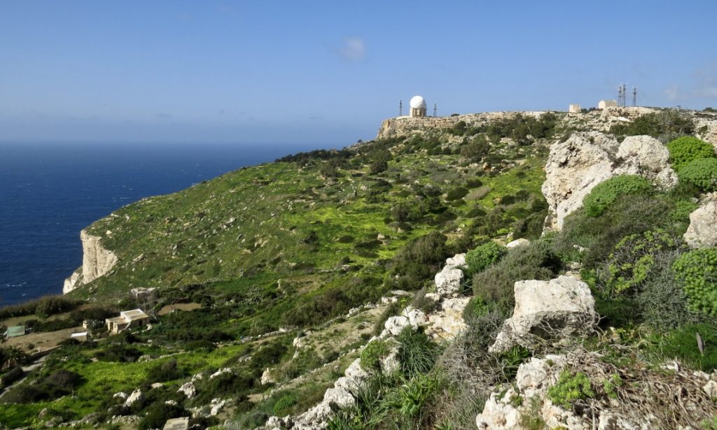
Nearby to the cart ruts is the natural depression of Għar il-Kbir, forming a cave complex of interconnecting caves, which was inhabited by people from Neolithic times till 1835.
Another historic site worth visiting is the megalithic temples of Ħaġar Qim and Mnajdra they are the best preserved of Malta’s prehistoric sites. A visitor centre and permanent tentlike canopies have been erected over the complex to protect the temples from the elements. The temples are in solar alignment so at each of the equinoxes the sun shines on the furthest edge of a slab inside the temples.
GC7B8NZ Mnajdra and Ħaġar Qim by Jovaluda Virtual D1/T2
Gozo
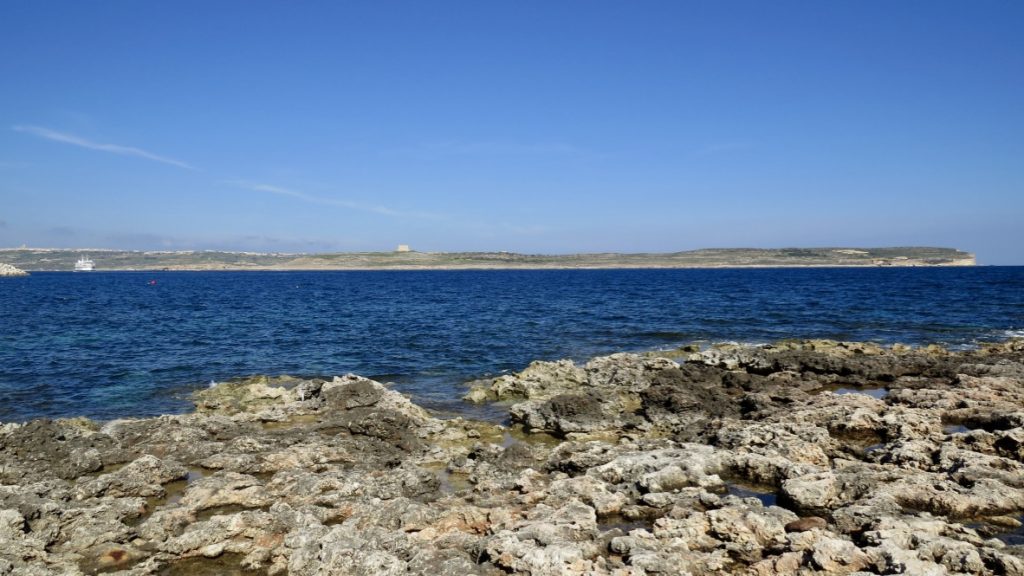
We recommend taking the ferry to Gozo, it takes just 20 minutes, the ferries are very frequent and cheap. The car ferry shuttles between Malta’s Ċirkewwa and Gozo’s Mġarr every 45 minutes from 6am to around 6pm and roughly every 1½ hours throughout the night. If travelling by vehicle you pay on your return leg, when leaving Mġarr, so there’s no need to buy a ticket in Ċirkewwa on the way out.
One of the highlights of our trip to Gozo was the salt pans and discovering this earthcache:
GC5MXE1 Salt Pans from Zebbug and Marsalforn by Hatamoto-Skyks Earthcache D1.5/T2
Useful Information
Currency is the Euro
Electricity is 230 Volts, 50Hz. Plug type G 3-pin plug as in the UK
Flight Time from Manchester 3 hours 25 minutes
Time Zone I hour ahead of UK
